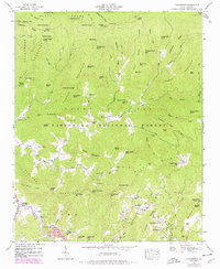
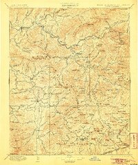
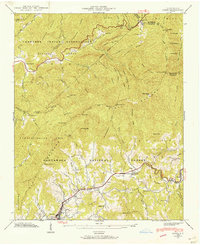
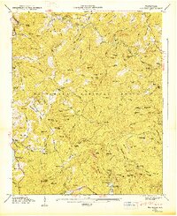
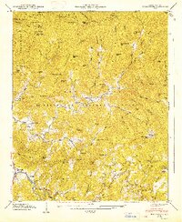
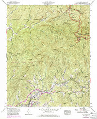
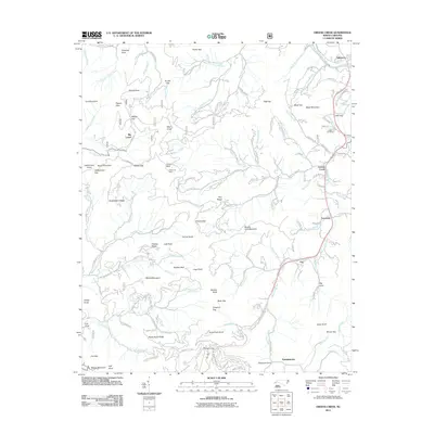
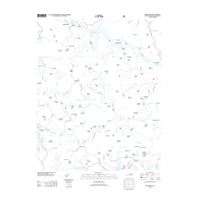
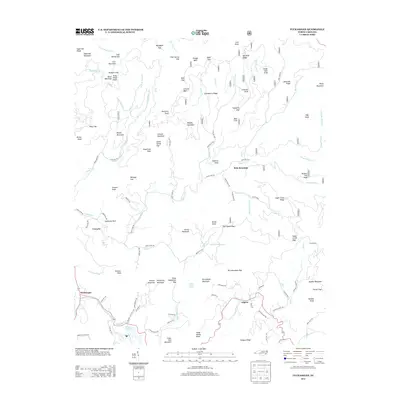
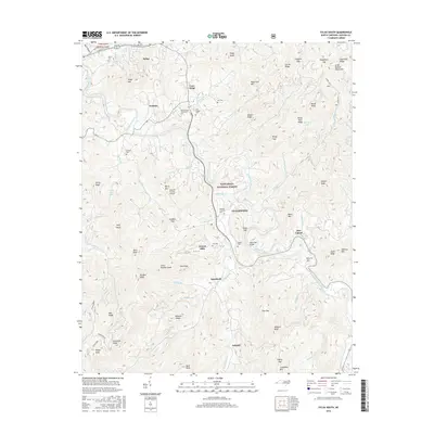
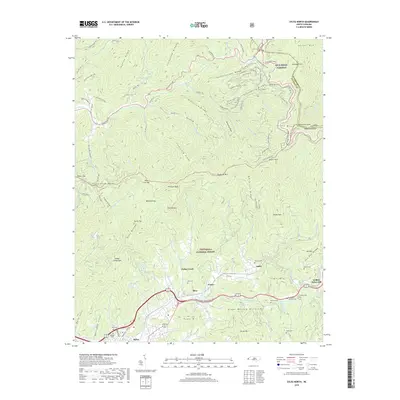
1946 Map of Tuckasegee
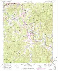
USGS Topo · Published 1978About this map
High peaks and river valleys dominate this terrain in Jackson County, where the Tuckasegee River meets a network of vital mountain forks. Local life in the mid-20th century is mapped through small social centers like Argura and Tuckasegee, alongside scattered institutions such as Oak Hill School and Catherine Chapel. The presence of numerous family-named burial grounds, including Shook Cem and Stephenson Cem, provides a detailed record for genealogical study.
Find a feature on this map
107 named features on this map. Tap any name to fly to it.
Don’t see what you’re looking for? This feature index may not catch every label — zoom into the map to look around manually.
Map Details
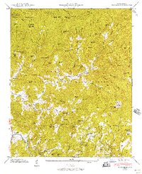
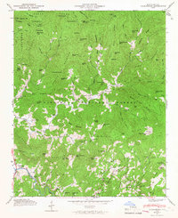
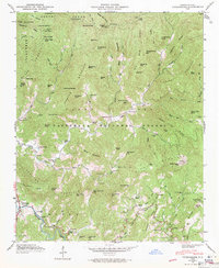
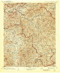
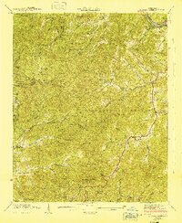
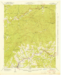
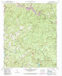
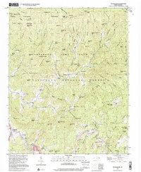
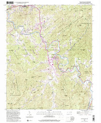
Editions of this 1946 Tuckasegee Map
5 editions found
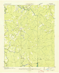
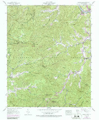
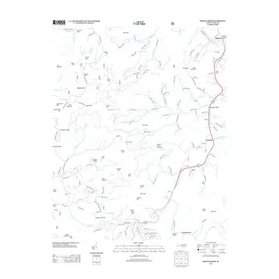
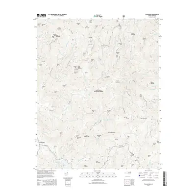
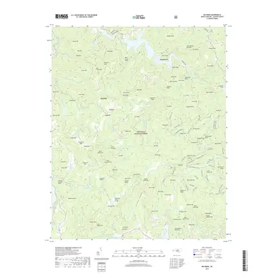
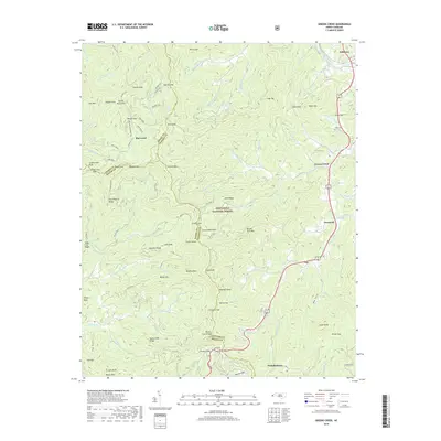
Historical Maps of Cowarts Through Time
44 maps found

1891 Cowee
Jackson County, NC
1897 Cowee
Jackson County, NC
1907 Cowee
Jackson County, NC

1935 Addie
Jackson County, NC
1935 Big Ridge
Jackson County, NC

1935 Tuckaseigee
Jackson County, NC

1936 Greens Creek
Jackson County, NC
1940 Greens Creek
Jackson County, NC
1941 Addie
Jackson County, NC
1941 Greens Creek
Jackson County, NC
1942 Addie
Jackson County, NC
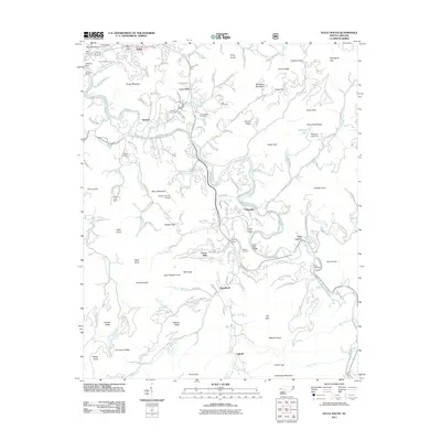
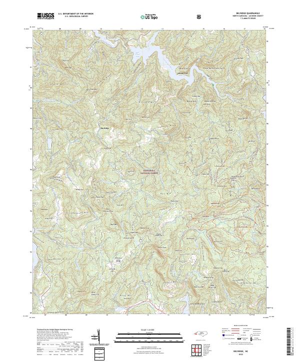
1946 Big Ridge
Jackson County, NC
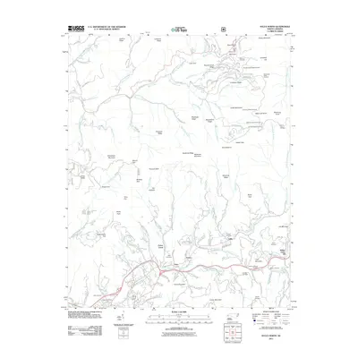
1946 Sylva South
Jackson County, NC
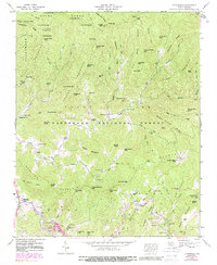
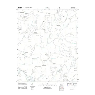
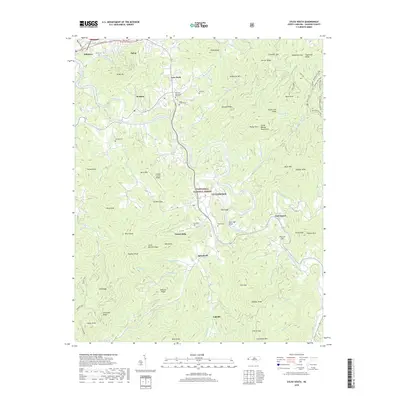
1946 Tuckasegee
Jackson County, NC
1947 Big Ridge
Jackson County, NC
1947 Tuckasegee
Jackson County, NC
1967 Sylva North
Jackson County, NC
1997 Tuckasegee
Jackson County, NC
2000 Sylva South
Jackson County, NC
2011 Big Ridge
Jackson County, NC
2011 Greens Creek
Jackson County, NC
2011 Sylva North
Jackson County, NC
2011 Sylva South
Jackson County, NC
2011 Tuckasegee
Jackson County, NC
2013 Big Ridge
Jackson County, NC
2013 Greens Creek
Jackson County, NC
2013 Sylva North
Jackson County, NC
2013 Sylva South
Jackson County, NC
2013 Tuckasegee
Jackson County, NC
2016 Big Ridge
Jackson County, NC
2016 Greens Creek
Jackson County, NC
2016 Sylva North
Jackson County, NC
2016 Sylva South
Jackson County, NC
2016 Tuckasegee
Jackson County, NC
2019 Big Ridge
Jackson County, NC
2019 Greens Creek
Jackson County, NC
2019 Sylva North
Jackson County, NC
2019 Sylva South
Jackson County, NC
2019 Tuckasegee
Jackson County, NC
2022 Big Ridge
Jackson County, NC
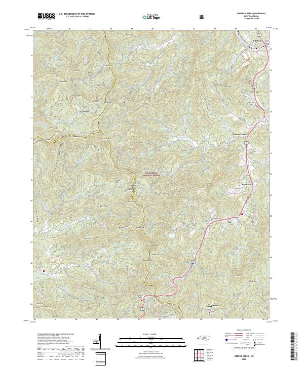
2022 Greens Creek
Jackson County, NC
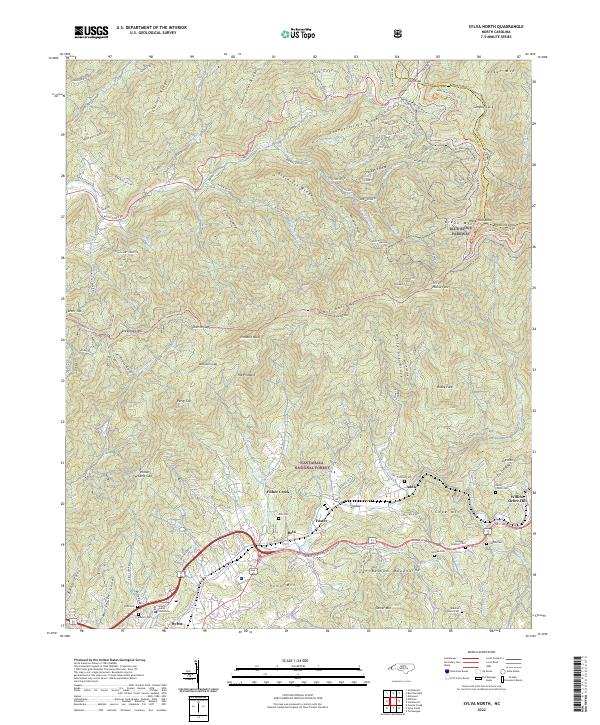
2022 Sylva North
Jackson County, NC
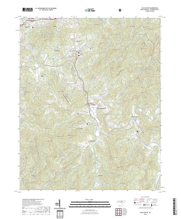
2022 Sylva South
Jackson County, NC
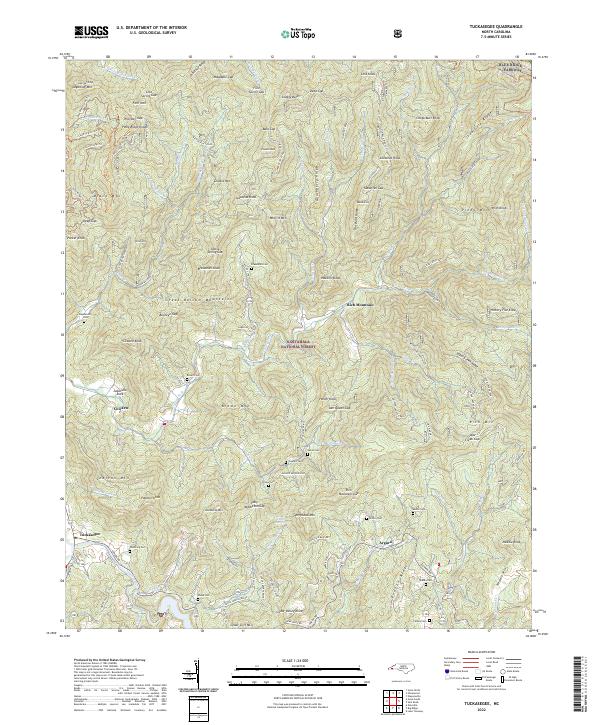
2022 Tuckasegee
Jackson County, NC