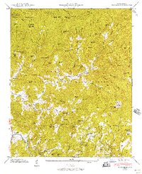
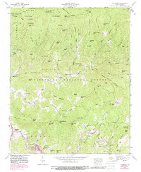
1946 Map of Tuckasegee
USGS Topo · Published 1957About this map
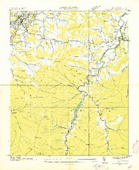
The W Fk Tuckasegee River valley anchors this mountain landscape, which was surveyed in the mid-1940s just as the Nantahala National Forest was becoming a dominant presence in the region. The settlement of Tuckasegee sits at the junction of the west fork and Caney Fork, serving as a hub for the scattered homesteads and family farms that line the narrow creek bottoms.
Find a feature on this map
102 named features on this map. Tap any name to fly to it.
Don’t see what you’re looking for? This feature index may not catch every label — zoom into the map to look around manually.
Map Details
Editions of this 1946 Tuckasegee Map
5 editions found
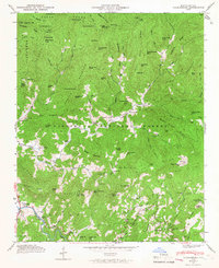
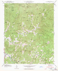
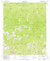
Other maps of this area

1891 · Cowee
USGS Topo · 1:125,000

1897 · Cowee
USGS Topo · 1:125,000

1905 · Pisgah
USGS Topo · 1:125,000

1906 · Pisgah
USGS Topo · 1:125,000

1907 · Cowee
USGS Topo · 1:125,000
1935 · Waynesville
USGS Topo · 1:24,000

1935 · Sam Knob
USGS Topo · 1:24,000

1935 · Tuckaseigee
USGS Topo · 1:24,000

1935 · Hazelwood
USGS Topo · 1:24,000

1935 · Lake Toxaway
USGS Topo · 1:24,000