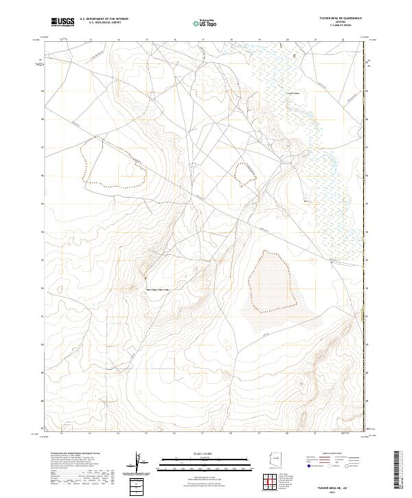
2021 Map of Tucker Mesa NE
USGS Topo · Published 2021About this map
The Little Colorado River winds through the northern portion of this Coconino County landscape, where the high desert terrain is defined by drainage patterns and tribal route networks. The geography is characterized by wide alluvial features like Coyote Wash, which feeds toward the river from the south. This area, mapped in the early 21st century, reflects a sparse but organized infrastructure of regional travel.
Find a feature on this map
12 named features on this map. Tap any name to fly to it.
Don’t see what you’re looking for? This feature index may not catch every label — zoom into the map to look around manually.
Map Details
Editions of this 2021 Tucker Mesa NE Map
This is the sole edition of this map. No revisions or reprints were ever made.
Other maps of this area

1883 · Tusayan
USGS Topo · 1:250,000

1886 · Tusayan
USGS Topo · 1:250,000

1947 · Flagstaff
USGS Topo · 1:250,000

1954 · Winslow
USGS Topo · 1:62,500

1954 · Winslow 4 NW
USGS Topo · 1:24,000

1954 · Winslow 4 SW
USGS Topo · 1:24,000

1954 · Flagstaff
USGS Topo · 1:250,000

1955 · Winslow 2 SW
USGS Topo · 1:24,000

1955 · Leupp
USGS Topo · 1:62,500

1957 · Winslow 1 SW
USGS Topo · 1:24,000