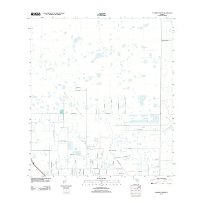
2012 Map of Tuckers Corner
USGS Topo · Published 2012About this map
Tuckers Corner and the surrounding drainage of the southwest Florida landscape are captured here in the early 21st century. The terrain is defined by an intricate network of wetlands and small ponds, particularly in the northern reaches where the land remains largely undeveloped. These natural hydrological features transition southward into a systematic grid of rural residential roads and agricultural parcels. Local drainage is managed through waterways such as Popash Cr and Daughtrey Cr, which navigate between a growing network of local thoroughfares. Names like Cook Brown Rd, Perry Ranch Rd, and Huffmaster Rd suggest the area's agricultural roots and family-owned lands. The presence of the FPL Maintenance Rd indicates the expansion of modern utility infrastructure into these rural spaces during this era of development.
Find a feature on this map
49 named features on this map. Tap any name to fly to it.
Don’t see what you’re looking for? This feature index may not catch every label — zoom into the map to look around manually.
Map Details
Editions of this 2012 Tuckers Corner Map
This is the sole edition of this map. No revisions or reprints were ever made.
Other maps of this area

1956 · Telegraph Swamp
USGS Topo · 1:24,000

1956 · Cleveland
USGS Topo · 1:24,000

1956 · Telegraph Swamp NW
USGS Topo · 1:24,000

1956 · Bermont
USGS Topo · 1:24,000

1956 · West Palm Beach
USGS Topo · 1:250,000

1957 · West Palm Beach
USGS Topo · 1:250,000

1957 · Tuckers Corner
USGS Topo · 1:24,000

1957 · Gilchrist
USGS Topo · 1:24,000

1958 · West Palm Beach
USGS Topo · 1:250,000

1958 · Fort Myers NW
USGS Topo · 1:24,000