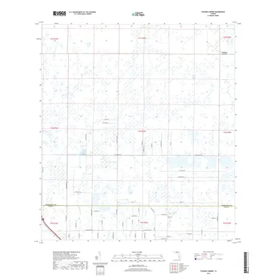
2018 Map of Tuckers Corner
USGS Topo · Published 2018About this map
Tuckers Corner serves as the primary named point of reference in this landscape situated at the boundary of Charlotte and Lee Counties. The terrain is characterized by intricate wetlands and drainage patterns, with Daughtrey Cr and Popash Cr winding through the southern portion of the quadrangle. The map captures a moment of modern transition, where large tracts of land are defined by a network of long, straight roads and family-named routes such as Hughes Black Rd and Cook Brown Rd. Local thoroughfares like Nalle Grade Rd and Perry Ranch Rd indicate the region's agricultural and ranching heritage, providing a detailed view of property divisions and rural infrastructure before further intensive development reached this corner of Southwest Florida.
Find a feature on this map
53 named features on this map. Tap any name to fly to it.
Don’t see what you’re looking for? This feature index may not catch every label — zoom into the map to look around manually.
Map Details
Editions of this 2018 Tuckers Corner Map
This is the sole edition of this map. No revisions or reprints were ever made.
Other maps of this area

1956 · Telegraph Swamp
USGS Topo · 1:24,000

1956 · Cleveland
USGS Topo · 1:24,000

1956 · Telegraph Swamp NW
USGS Topo · 1:24,000

1956 · Bermont
USGS Topo · 1:24,000

1956 · West Palm Beach
USGS Topo · 1:250,000

1957 · West Palm Beach
USGS Topo · 1:250,000

1957 · Tuckers Corner
USGS Topo · 1:24,000

1957 · Gilchrist
USGS Topo · 1:24,000

1958 · West Palm Beach
USGS Topo · 1:250,000

1958 · Fort Myers NW
USGS Topo · 1:24,000