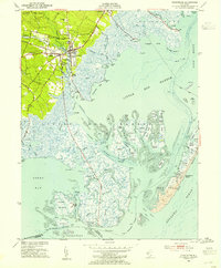
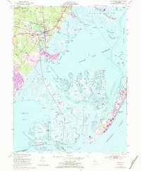
1952 Map of Tuckerton
USGS Topo · Published 1954About this map
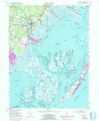
Tuckerton serves as the focal point of this coastal survey, where the terrestrial landscape of Bass River State Forest meets the intricate marshlands and channels of Little Egg Harbor. The era is defined by a local economy tied to both the land and sea, evidenced by the Cranberry Bogs west of town and the isolated Fish Factory situated on the Seven Islands to the south. Transportation and transit points like Mathis Airport, Scow Landing, and Parkers Landing suggest a community oriented around its waterways and early aviation.
Find a feature on this map
95 named features on this map. Tap any name to fly to it.
Don’t see what you’re looking for? This feature index may not catch every label — zoom into the map to look around manually.
Map Details
Editions of this 1952 Tuckerton Map
6 editions found
Other maps of this area

1887 · Atlantic City
USGS Topo · 1:62,500

1888 · Little Egg Harbor
USGS Topo · 1:62,500

1888 · Long Beach
USGS Topo · 1:62,500

1893 · Little Egg Harbor
USGS Topo · 1:62,500

1893 · Long Beach
USGS Topo · 1:62,500

1894 · Atlantic City
USGS Topo · 1:62,500

1919 · Long Beach
USGS Topo · 1:62,500

1920 · Little Egg Harbor
USGS Topo · 1:62,500

1940 · Atlantic City
USGS Topo · 1:62,500
1941 · Atlantic City
USGS Topo · 1:62,500
Featured Places
- Galloway Township, NJ
- Little Egg Harbor Township, NJ
- Tuckerton, NJ
- Long Beach Township, NJ
- Eagleswood Township, NJ