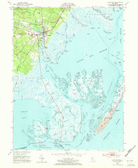
1952 Map of Tuckerton
USGS Topo · Published 1972About this map
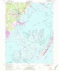
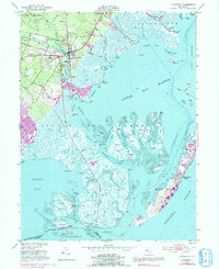
The maritime and agricultural character of Ocean County is clearly visible in this mid-century survey of the New Jersey shore. Centered on Tuckerton, the map details a landscape where traditional industries like Cranberry Bogs and timber from the Bass River State Forest met the growing coastal economy. The transition from terrestrial to aquatic life is marked by numerous landings, including Tuckerton Landing and Parkers Landing, which provided essential access to Little Egg Harbor and the complex network of tidal channels.
Find a feature on this map
93 named features on this map. Tap any name to fly to it.
Don’t see what you’re looking for? This feature index may not catch every label — zoom into the map to look around manually.
Map Details
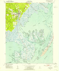
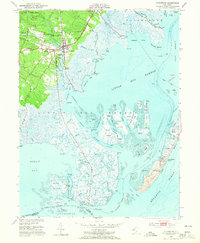
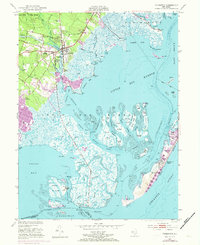
Editions of this 1952 Tuckerton Map
6 editions found
Other maps of this area

1887 · Atlantic City
USGS Topo · 1:62,500

1888 · Little Egg Harbor
USGS Topo · 1:62,500

1888 · Long Beach
USGS Topo · 1:62,500

1893 · Little Egg Harbor
USGS Topo · 1:62,500

1893 · Long Beach
USGS Topo · 1:62,500

1894 · Atlantic City
USGS Topo · 1:62,500

1919 · Long Beach
USGS Topo · 1:62,500

1920 · Little Egg Harbor
USGS Topo · 1:62,500

1940 · Atlantic City
USGS Topo · 1:62,500
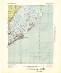
1941 · Atlantic City
USGS Topo · 1:62,500
Featured Places
- Galloway Township, NJ
- Little Egg Harbor Township, NJ
- Tuckerton, NJ
- Long Beach Township, NJ
- Eagleswood Township, NJ