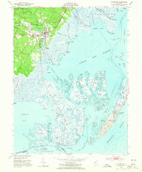
1952 Map of Tuckerton
USGS Topo · Published 1965About this map
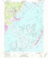
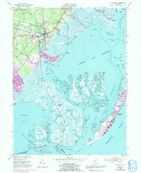
Tuckerton and West Tuckerton serve as the hub of this coastal survey, where the terrestrial edge of Bass River State Forest meets the intricate marshlands of Little Egg Harbor. The landscape is defined by the transition from upland pine barrens to tidal flats, with evidence of local infrastructure including Mathis Airport and several historic landings such as Scow Landing and Parkers Landing along Tuckerton Cove. To the east, the barrier island of Long Beach hosts the settlements of Beach Haven and Holgate, separated from the mainland by an expansive network of sedges and thoroughfares. Maritime and commemorative sites are scattered throughout, from the Pulaski Monument in the west to a Fish Factory situated among the Seven Islands in the southern reaches of the bay. This map details the mid-century geography of the Jersey Shore before significant modern coastal development altered these wetlands.
Find a feature on this map
97 named features on this map. Tap any name to fly to it.
Don’t see what you’re looking for? This feature index may not catch every label — zoom into the map to look around manually.
Map Details
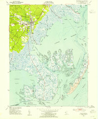
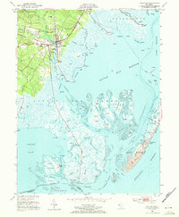
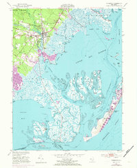
Editions of this 1952 Tuckerton Map
6 editions found
Other maps of this area

1887 · Atlantic City
USGS Topo · 1:62,500

1888 · Little Egg Harbor
USGS Topo · 1:62,500

1888 · Long Beach
USGS Topo · 1:62,500

1893 · Little Egg Harbor
USGS Topo · 1:62,500

1893 · Long Beach
USGS Topo · 1:62,500

1894 · Atlantic City
USGS Topo · 1:62,500

1919 · Long Beach
USGS Topo · 1:62,500

1920 · Little Egg Harbor
USGS Topo · 1:62,500

1940 · Atlantic City
USGS Topo · 1:62,500
1941 · Atlantic City
USGS Topo · 1:62,500
Featured Places
- Galloway Township, NJ
- Little Egg Harbor Township, NJ
- Tuckerton, NJ
- Long Beach Township, NJ
- Eagleswood Township, NJ