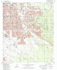
1983 Map of Tucson East
USGS Topo · Published 1986About this map
Davis-Monthan Air Force Base dominates the southern landscape of this 1980s Tucson survey, a massive military footprint characterized by sprawling runways and facilities like the Davis-Monthan AFB Hospital. Nearby, the Pima Air Museum and Tucson Dragway highlight the area's specialized land use at the city's edge. The residential expansion of Eastern Tucson is evident through a dense network of schools such as St Josephs Academy and Palo Verde HS, alongside shopping hubs like Oxford Plaza Shopping Center.
Find a feature on this map
89 named features on this map. Tap any name to fly to it.
Don’t see what you’re looking for? This feature index may not catch every label — zoom into the map to look around manually.
Map Details
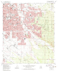
Editions of this 1983 Tucson East Map
2 editions found
Other maps of this area

1904 · Tucson
USGS Topo · 1:125,000

1905 · Tucson
USGS Topo · 1:125,000

1948 · Tucson
USGS Topo · 1:62,500

1956 · Tucson
USGS Topo · 1:250,000

1957 · Tucson East
USGS Topo · 1:24,000

1957 · Bellota Ranch
USGS Topo · 1:62,500

1957 · Tucson
USGS Topo · 1:24,000

1957 · Tucson
USGS Topo · 1:62,500

1957 · Rincon Valley
USGS Topo · 1:62,500

1957 · Sabino Canyon
USGS Topo · 1:24,000