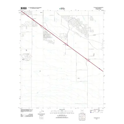
2011 Map of Tucson SE
USGS Topo · Published 2011About this map
The southeast outskirts of Tucson are defined by the convergence of major infrastructure and the sprawling desert landscape of the Sonoran basin. The Benson Hwy serves as a primary corridor through this quadrant, linking the small communities of Littletown, Wilmot, and Esmond as they transition from industrial hubs to suburban outgrowths. Significant institutional presence is concentrated in the western portion of the map, where the Arizona State Prison Complex and the Arizona Correctional Training Facility occupy large tracts of land south of Littletown. Local culture and recreation are represented by the Corona Speedway, situated east of the S Wilmot Rd corridor. The natural geography remains present through the path of the Atterbury Wash, which meanders through the arid terrain, contrasting with the structured development of the Rita Interchange and Wilmot Interchange areas.
Find a feature on this map
36 named features on this map. Tap any name to fly to it.
Don’t see what you’re looking for? This feature index may not catch every label — zoom into the map to look around manually.
Map Details
Editions of this 2011 Tucson SE Map
This is the sole edition of this map. No revisions or reprints were ever made.
Other maps of this area

1904 · Patagonia
USGS Topo · 1:125,000

1904 · Tucson
USGS Topo · 1:125,000

1905 · Patagonia
USGS Topo · 1:125,000

1905 · Tucson
USGS Topo · 1:125,000

1926 · Helvetia
USGS Topo · 1:62,500

1948 · Tucson
USGS Topo · 1:62,500

1956 · Nogales
USGS Topo · 1:250,000

1956 · Tucson
USGS Topo · 1:250,000

1957 · Tucson East
USGS Topo · 1:24,000

1957 · Tucson
USGS Topo · 1:24,000