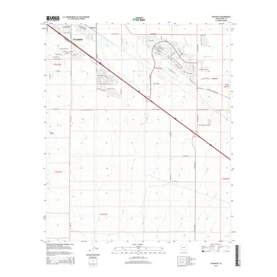
2014 Map of Tucson SE
USGS Topo · Published 2014About this map
The southeastern edges of Tucson are documented here in 2014, showing a landscape defined by industrial expansion and residential growth. This area includes the rail-side settlements of Wilmot and Esmond, which sit along the major transportation corridor of the E Benson Hwy. The map reveals a transition from the urban grid into specialized developments, such as the E Sycamore Park Blvd neighborhood and the Cactus Country RV Resort. The natural drainage of Atterbury Wash cuts through the northeast, providing a geographic contrast to the heavy infrastructure of the E Stadium Pky and various planned business loops. Genealogists and local historians can trace the naming of modern thoroughfares like E Los Reales Rd and E Rita Rd as they pushed into previously undeveloped township sections.
Find a feature on this map
70 named features on this map. Tap any name to fly to it.
Don’t see what you’re looking for? This feature index may not catch every label — zoom into the map to look around manually.
Map Details
Editions of this 2014 Tucson SE Map
This is the sole edition of this map. No revisions or reprints were ever made.
Other maps of this area

1904 · Patagonia
USGS Topo · 1:125,000

1904 · Tucson
USGS Topo · 1:125,000

1905 · Patagonia
USGS Topo · 1:125,000

1905 · Tucson
USGS Topo · 1:125,000

1926 · Helvetia
USGS Topo · 1:62,500

1948 · Tucson
USGS Topo · 1:62,500

1956 · Nogales
USGS Topo · 1:250,000

1956 · Tucson
USGS Topo · 1:250,000

1957 · Tucson East
USGS Topo · 1:24,000

1957 · Tucson
USGS Topo · 1:24,000