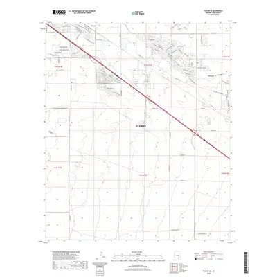
2018 Map of Tucson SE
USGS Topo · Published 2018About this map
The southeastern outskirts of Tucson are characterized by a transition from organized suburban expansion to open desert land, as seen in this 2018 survey. The landscape is defined by a rigid grid of residential streets in the north, including E Stadium Pkwy and S Kolb Rd, while the south remains largely undeveloped terrain. Small settlements or historical sidings like Wilmot and Esmond punctuate the transportation corridors, marking the path of movement through the Santa Cruz Valley. Drainage patterns are etched into the arid ground, most notably by the Atterbury Wash in the northeast. This edition documents the late-stage development of planned neighborhoods with distinctively named roads such as Coral Reef and E Diablo Sunrise Rd, providing a clear record of the modern urban boundary and its encroachment into the surrounding desert floor.
Find a feature on this map
80 named features on this map. Tap any name to fly to it.
Don’t see what you’re looking for? This feature index may not catch every label — zoom into the map to look around manually.
Map Details
Editions of this 2018 Tucson SE Map
This is the sole edition of this map. No revisions or reprints were ever made.
Other maps of this area

1904 · Patagonia
USGS Topo · 1:125,000

1904 · Tucson
USGS Topo · 1:125,000

1905 · Patagonia
USGS Topo · 1:125,000

1905 · Tucson
USGS Topo · 1:125,000

1926 · Helvetia
USGS Topo · 1:62,500

1948 · Tucson
USGS Topo · 1:62,500

1956 · Nogales
USGS Topo · 1:250,000

1956 · Tucson
USGS Topo · 1:250,000

1957 · Tucson East
USGS Topo · 1:24,000

1957 · Tucson
USGS Topo · 1:24,000