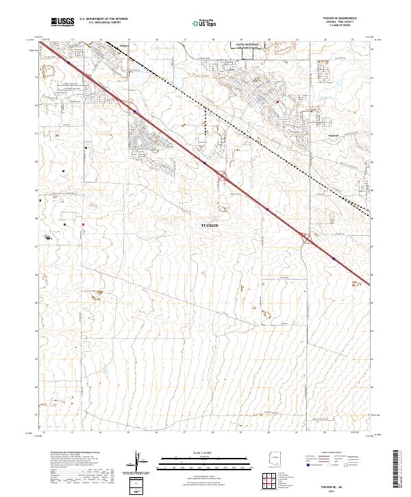
2021 Map of Tucson SE
USGS Topo · Published 2021About this map
The settlements of Wilmot and Esmond anchor this area of Pima County, showing the suburban expansion of Tucson as it moves southeast into the Sonoran desert. The landscape is defined by a rigid grid of arterial roads such as S Wilmot Rd and S Houghton Rd, intersected by the diagonal line of the Interstate 10 corridor and the parallel frontage roads. Residential developments are clustered along E Valencia Rd and E Rita Rd, where named streets like E Esmond Loop and S New Abbey Dr reveal the planned growth of the early 21st century.
Find a feature on this map
82 named features on this map. Tap any name to fly to it.
Don’t see what you’re looking for? This feature index may not catch every label — zoom into the map to look around manually.
Map Details
Editions of this 2021 Tucson SE Map
This is the sole edition of this map. No revisions or reprints were ever made.
Other maps of this area

1904 · Patagonia
USGS Topo · 1:125,000

1904 · Tucson
USGS Topo · 1:125,000

1905 · Patagonia
USGS Topo · 1:125,000

1905 · Tucson
USGS Topo · 1:125,000

1926 · Helvetia
USGS Topo · 1:62,500

1948 · Tucson
USGS Topo · 1:62,500

1956 · Nogales
USGS Topo · 1:250,000

1956 · Tucson
USGS Topo · 1:250,000

1957 · Tucson East
USGS Topo · 1:24,000

1957 · Tucson
USGS Topo · 1:24,000