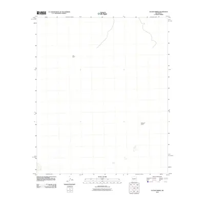
2010 Map of Tucson Spring
USGS Topo · Published 2010About this map
Tucson Spring and the Victoria Land and Cattle Co Mine characterize this arid landscape in Socorro County, New Mexico. The area's land use is tied to ranching and resource extraction, evidenced by the presence of the Casa Grande Ranch. The terrain is sparsely developed, centered on these few water and industrial points that supported the rural economy of the high desert at the turn of the 21st century. This map documents the essential geography required for cattle operations and mining in a region where such landmarks are the primary indicators of human activity and settlement.
Find a feature on this map
3 named features on this map. Tap any name to fly to it.
Don’t see what you’re looking for? This feature index may not catch every label — zoom into the map to look around manually.
Map Details
Editions of this 2010 Tucson Spring Map
This is the sole edition of this map. No revisions or reprints were ever made.
Other maps of this area

1916 · Salinas Peak
USGS Topo · 1:125,000

1948 · Val Verde
USGS Topo · 1:62,500

1948 · Malpais Well
USGS Topo · 1:62,500

1954 · Tularosa
USGS Topo · 1:250,000

1958 · Tularosa
USGS Topo · 1:250,000

1961 · Paraje Well
USGS Topo · 1:24,000

1961 · Crocker
USGS Topo · 1:24,000

1961 · Lava
USGS Topo · 1:24,000

1979 · Truth or Consequences
USGS Topo · 1:100,000

1979 · San Mateo Mountains
USGS Topo · 1:100,000