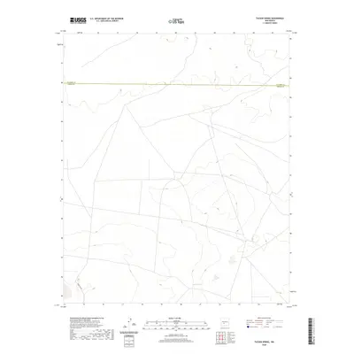
2020 Map of Tucson Spring
USGS Topo · Published 2020About this map
Tucson Spring serves as a critical hydrological point in this arid landscape where the High Plains meet the northern reaches of the Chihuahuan Desert. Located along the boundary dividing Socorro Co and Sierra Co, the map reveals a remote terrain primarily characterized by elevation contours and sparse infrastructure. The presence of Naval Site Rd in the southwestern corner suggests a specialized military or governmental utility to the land, typical of the sprawling federal tracts found throughout this part of New Mexico. The survey reflects a contemporary view of this high-desert environment, where few landmarks exist beyond natural springs and utilitarian access roads.
Find a feature on this map
3 named features on this map. Tap any name to fly to it.
Don’t see what you’re looking for? This feature index may not catch every label — zoom into the map to look around manually.
Map Details
Editions of this 2020 Tucson Spring Map
This is the sole edition of this map. No revisions or reprints were ever made.
Other maps of this area

1916 · Salinas Peak
USGS Topo · 1:125,000

1948 · Val Verde
USGS Topo · 1:62,500

1948 · Malpais Well
USGS Topo · 1:62,500

1954 · Tularosa
USGS Topo · 1:250,000

1958 · Tularosa
USGS Topo · 1:250,000

1961 · Paraje Well
USGS Topo · 1:24,000

1961 · Crocker
USGS Topo · 1:24,000

1961 · Lava
USGS Topo · 1:24,000

1979 · Truth or Consequences
USGS Topo · 1:100,000

1979 · San Mateo Mountains
USGS Topo · 1:100,000