Loading...
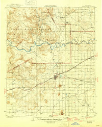
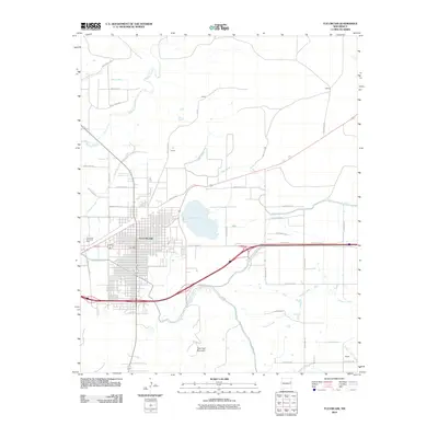
Loading map...1930 Map of Tucumcari
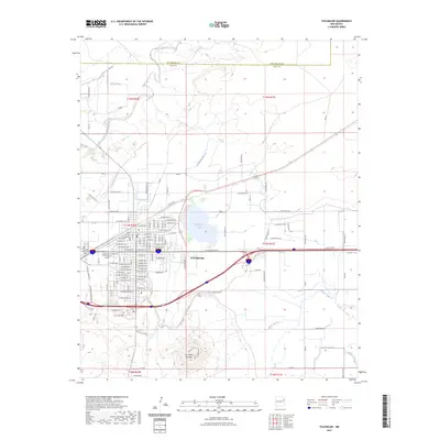
USGS Topo · Published 1946About this map
Tucumcari serves as the central hub of this eastern New Mexico landscape, situated at the crossroads of the Southern Pacific and the Chicago Rock Island and Pacific railroads. The map highlights the vast historical land divisions of the Pablo Montoya Grant and Baca Location No 2, north of the prominent Tucumcari Mtn. Early 20th-century transportation is defined by the winding course of the Canadian River and the emerging presence of U.S. Route 66, which skirts the southern edge of town.
Find a feature on this map
46 named features on this map. Tap any name to fly to it.
Don’t see what you’re looking for? This feature index may not catch every label — zoom into the map to look around manually.
Map Details
Date Portrayed1930
Date Published1946
PublisherU.S. Geological Survey
Map TypeTopographic
Scale1:125,000
Physical Dimensions16.6 x 20.6 inches
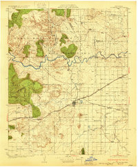
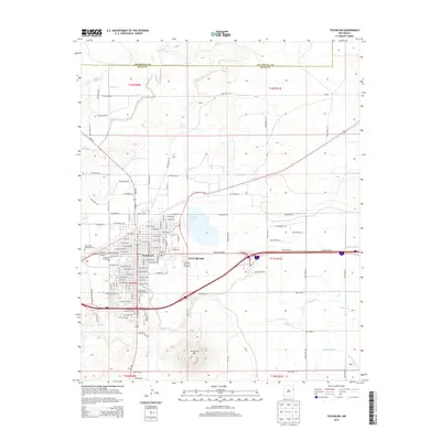
Editions of this 1930 Tucumcari Map
2 editions found
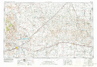
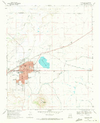
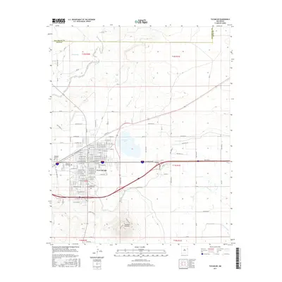
Historical Maps of Tucumcari Through Time
9 maps found

Featured Locations
Source Details
SourceU.S. Geological Survey
CopyrightPublic Domain