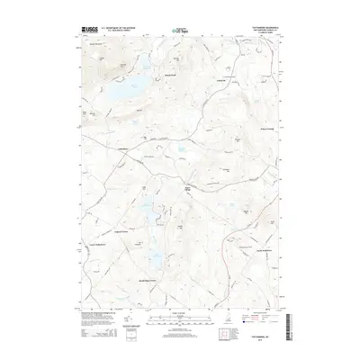
2015 Map of Tuftonboro
USGS Topo · Published 2015About this map
The southeastern foothills of the Ossipee Mountains define this corner of New Hampshire, where historic hamlets and dispersed agricultural settlements are linked by a dense network of country roads. Tuftonboro and Water Village serve as primary hubs, with smaller junctions like Federal Corner and Stockbridge Corner marking the historical transition points between high mountain terrain and the drainage basins below. The hydrology of the area is particularly complex, characterized by the Beech River and a sequence of significant water bodies including Dan Hole Pond, Lower Beech Pond, and Melvin Pond. The layout of the roads, such as Schoolhouse Rd and Durgin Rd, suggests a landscape long shaped by small-scale farming and timber interests, while landmarks like Chickville Airport and Mountain View Field show the more modern adaptation of the terrain.
Find a feature on this map
108 named features on this map. Tap any name to fly to it.
Don’t see what you’re looking for? This feature index may not catch every label — zoom into the map to look around manually.
Map Details
Editions of this 2015 Tuftonboro Map
This is the sole edition of this map. No revisions or reprints were ever made.
Other maps of this area

1909 · Winnepesaukee
USGS Topo · 1:62,500

1928 · Wolfeboro
USGS Topo · 1:62,500

1930 · Ossipee Lake
USGS Topo · 1:62,500

1931 · Mt. Chocorua
USGS Topo · 1:62,500

1949 · Portland
USGS Topo · 1:250,000

1956 · Winnipesaukee
USGS Topo · 1:62,500

1956 · Portland
USGS Topo · 1:250,000

1958 · Ossipee Lake
USGS Topo · 1:62,500

1958 · Wolfeboro
USGS Topo · 1:62,500

1958 · Mt. Chocorua
USGS Topo · 1:62,500