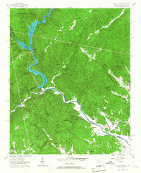
1957 Map of Tugaloo Lake
USGS Topo · Published 1967About this map
The Tugaloo settlement sits along the boundary of the Chattahoochee National Forest and Sumter National Forest, a landscape defined by the deep carving of the Tugaloo River and its hydroelectric impoundments. The map reveals the early footprint of Yonah Lake and Tugaloo Lake, where the Tallulah River and Chattooga River converge at the Georgia-South Carolina state line. This mid-century survey documents the transition of the river valley from a free-flowing water system into a series of managed basins, while maintaining the steep, forested character of the surrounding Blue Ridge foothills. Settlement is sparse, limited primarily to small clusters like Tugaloo and scattered homesteads, highlighting the area's preservation as national forest land. Genealogists and local historians can trace the traditional pathways and family-named ridges that remained even as the valley floor was reshaped by the developing power network of the era.
Find a feature on this map
1 named feature on this map. Tap any name to fly to it.
Don’t see what you’re looking for? This feature index may not catch every label — zoom into the map to look around manually.
Map Details
Editions of this 1957 Tugaloo Lake Map
4 editions found
Other maps of this area

1886 · Walhalla
USGS Topo · 1:125,000

1892 · Walhalla
USGS Topo · 1:125,000

1896 · Walhalla
USGS Topo · 1:125,000

1953 · Tallulah Falls
USGS Topo · 1:24,000

1954 · Greenville
USGS Topo · 1:250,000
1957 · Tiger
USGS Topo · 1:24,000

1957 · Tugaloo Lake
USGS Topo · 1:24,000
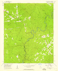
1957 · Rainy Mountain
USGS Topo · 1:24,000

1958 · Greenville
USGS Topo · 1:250,000
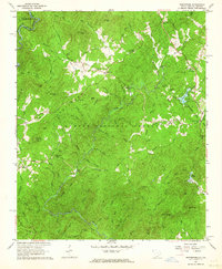
1961 · Whetstone
USGS Topo · 1:24,000