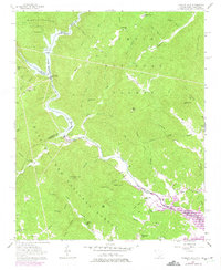
1957 Map of Tugaloo Lake
USGS Topo · Published 1975About this map
Tugaloo Lake and the winding Tugaloo River define this borderland where the Chattahoochee National Forest meets the Sumter National Forest. The landscape is a complex network of steep peaks like Boatwright Mtn and Trembly Bald that hem in the river as it flows toward the newly appearing waters of Hartwell Lake. Historical footprints of rural Oconee County and Stephens County are visible in the scattered country churches and schools, including Old Liberty Ch, Damascus Ch, and Riverside Sch. Downstream from Tallulah Falls, the river is harnessed by infrastructure like the Spillway at Yonah Lake, reflecting the mid-century hydroelectric development that reshaped these mountain valleys. The 1970s revisions highlight the encroachment of modern water levels on older landmarks like Prather Bridge.
Find a feature on this map
82 named features on this map. Tap any name to fly to it.
Don’t see what you’re looking for? This feature index may not catch every label — zoom into the map to look around manually.
Map Details
Editions of this 1957 Tugaloo Lake Map
4 editions found
Other maps of this area

1886 · Walhalla
USGS Topo · 1:125,000

1892 · Walhalla
USGS Topo · 1:125,000

1896 · Walhalla
USGS Topo · 1:125,000

1953 · Tallulah Falls
USGS Topo · 1:24,000

1954 · Greenville
USGS Topo · 1:250,000
1957 · Tiger
USGS Topo · 1:24,000

1957 · Tugaloo Lake
USGS Topo · 1:24,000
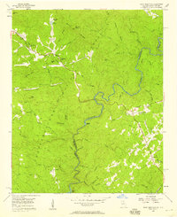
1957 · Rainy Mountain
USGS Topo · 1:24,000

1958 · Greenville
USGS Topo · 1:250,000
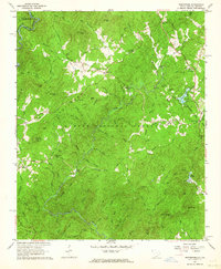
1961 · Whetstone
USGS Topo · 1:24,000