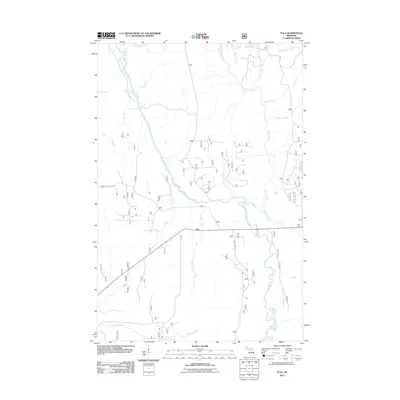
2011 Map of Tula
USGS Topo · Published 2011About this map
Tula and the railway stop at Jack Spur anchor this section of Michigan's western Upper Peninsula, where the Presque Isle River winds through a landscape defined by its tributary system and forest road network. The river's course is punctuated by Nimikon Falls and Minnewawa Falls, marking significant elevation changes in the northern reaches of the quadrangle. A dense network of avian-named water bodies, such as Nuthatch Creek, Kinglet Creek, and Warbler Creek, drains the timberlands into the main river channel.
Find a feature on this map
22 named features on this map. Tap any name to fly to it.
Don’t see what you’re looking for? This feature index may not catch every label — zoom into the map to look around manually.
Map Details
Editions of this 2011 Tula Map
This is the sole edition of this map. No revisions or reprints were ever made.
Other maps of this area

1955 · Marenisco
USGS Topo · 1:62,500

1955 · Marenisco
USGS Topo · 1:24,000

1955 · Wakefield
USGS Topo · 1:24,000

1955 · Wakefield
USGS Topo · 1:62,500

1955 · Wakefield NE
USGS Topo · 1:24,000

1956 · Bergland
USGS Topo · 1:62,500

1956 · Thomaston
USGS Topo · 1:62,500

1958 · Iron River
USGS Topo · 1:250,000

1960 · Iron River
USGS Topo · 1:250,000

1961 · Iron River
USGS Topo · 1:250,000