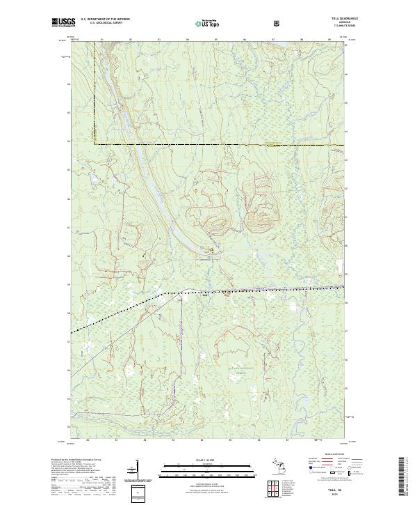
2023 Map of Tula
USGS Topo · Published 2023About this map
Tula sits at the heart of this landscape, a remote settlement in Gogebic County positioned along a network of forest roads and trails that traverse the Ottawa National Forest. The topography is defined by the complex hydrology of the western Upper Peninsula, where the Presque Isle River and its numerous tributaries, including the Little Presque Isle River, carve through the terrain. Notable elevation changes are marked by Nimikon Falls and Minnewawa Falls, illustrating the descent of these waters toward Lake Superior. The map reveals a land managed for both conservation and transit, with the Presque Isle Wild and Scenic River corridor protected alongside a grid of specialized routes such as Underwood Tower Rd and Wood Tower Rd. These roads and trails, including the Jack Spur Rd, suggest a history of timber management and forest access within the rugged interior of the Michigan wilderness.
Find a feature on this map
71 named features on this map. Tap any name to fly to it.
Don’t see what you’re looking for? This feature index may not catch every label — zoom into the map to look around manually.
Map Details
Editions of this 2023 Tula Map
This is the sole edition of this map. No revisions or reprints were ever made.
Other maps of this area

1955 · Marenisco
USGS Topo · 1:62,500

1955 · Marenisco
USGS Topo · 1:24,000

1955 · Wakefield
USGS Topo · 1:24,000

1955 · Wakefield
USGS Topo · 1:62,500

1955 · Wakefield NE
USGS Topo · 1:24,000

1956 · Bergland
USGS Topo · 1:62,500

1956 · Thomaston
USGS Topo · 1:62,500

1958 · Iron River
USGS Topo · 1:250,000

1960 · Iron River
USGS Topo · 1:250,000

1961 · Iron River
USGS Topo · 1:250,000