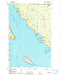
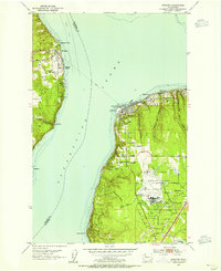
1956 Map of Tulalip
USGS Topo · Published 1992About this map
Tulalip serves as the focal point of this coastal survey, situated on the eastern shores of Tulalip Bay within the Tulalip Indian Reservation Boundary. The map illustrates a developed shoreline of Puget Sound inlets, where residential clusters like Spee-Bi-Dah, Tulalip Shores, and Mission Beach follow the contours of the bluff. Water access is critical to these communities, evidenced by numerous Docks and a Bulkhead at Hermosa Point. Inland, the landscape is dotted with several freshwater bodies, including Mary Shelton Lake and Weallup Lake, while a Gravel Pit near the reservation road suggests local resource extraction.
Find a feature on this map
38 named features on this map. Tap any name to fly to it.
Don’t see what you’re looking for? This feature index may not catch every label — zoom into the map to look around manually.
Map Details
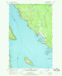
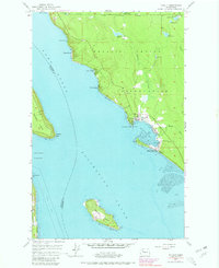
Editions of this 1956 Tulalip Map
4 editions found

Other maps of this area

1895 · Snohomish
USGS Topo · 1:125,000

1897 · Seattle
USGS Topo · 1:125,000

1911 · Mount Vernon
USGS Topo · 1:125,000

1941 · Marysville
USGS Topo · 1:62,500

1942 · Edmonds
USGS Topo · 1:62,500

1943 · Marysville
USGS Topo · 1:62,500

1943 · Stanwood
USGS Topo · 1:62,500

1944 · Everett
USGS Topo · 1:62,500
1953 · Maxwelton
USGS Topo · 1:24,000
1953 · Mukilteo
USGS Topo · 1:24,000