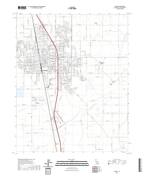
2021 Map of Tulare
USGS Topo · Published 2021About this map
Tulare serves as the focal point of this Central Valley survey, which details a landscape deeply shaped by agricultural water management. The city's residential and commercial grid is bisected by the Union Pacific Railroad and sits amidst a complex network of man-made waterways, including the Tulare Irrigation Canal, Oakland Colony Ditch, and Tulare Colony Ditch. These diversions illustrate the region's intensive reliance on irrigation systems to sustain its fertile plains.
Find a feature on this map
94 named features on this map. Tap any name to fly to it.
Don’t see what you’re looking for? This feature index may not catch every label — zoom into the map to look around manually.
Map Details
Editions of this 2021 Tulare Map
This is the sole edition of this map. No revisions or reprints were ever made.
Other maps of this area

1925 · Tulare
USGS Topo · 1:31,680

1925 · Tipton
USGS Topo · 1:31,680

1926 · Goshen
USGS Topo · 1:31,680

1926 · Exeter
USGS Topo · 1:31,680

1927 · Cairns Corner
USGS Topo · 1:31,680

1927 · Lake View School
USGS Topo · 1:31,680

1927 · Paige
USGS Topo · 1:31,680

1927 · Visalia
USGS Topo · 1:31,680

1927 · Tulare
USGS Topo · 1:31,680

1928 · Tipton
USGS Topo · 1:31,680