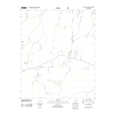
2011 Map of Tularosa Canyon
USGS Topo · Published 2011About this map
The Tularosa River defines the central axis of this landscape, carving through high-altitude terrain in western New Mexico. This 2011 survey documents a sparsely populated but active ranching environment, anchored by the Tularosa Shipping Corrals and an extensive network of Forest Service roads including Fs Rd 218. The map identifies critical water infrastructure in a high-desert climate, featuring specialized sites like GC Number Six Tank, GC Number Seven Tank, and Willow Tank. Deep drainage systems like Tularosa Canyon, Sand Flat Canyon, and Cañon del Buey illustrate the complex topography. These features, along with the Sand Flats, suggest a long-standing pattern of land use centered on livestock management and natural resource navigation within the national forest system.
Find a feature on this map
11 named features on this map. Tap any name to fly to it.
Don’t see what you’re looking for? This feature index may not catch every label — zoom into the map to look around manually.
Map Details
Editions of this 2011 Tularosa Canyon Map
This is the sole edition of this map. No revisions or reprints were ever made.
Other maps of this area

1915 · Reserve
USGS Topo · 1:125,000

1918 · Pelona
USGS Topo · 1:125,000

1918 · Reserve
USGS Topo · 1:125,000

1954 · Clifton
USGS Topo · 1:250,000

1954 · Saint Johns
USGS Topo · 1:250,000

1957 · Clifton
USGS Topo · 1:250,000

1957 · Saint Johns
USGS Topo · 1:250,000

1958 · Clifton
USGS Topo · 1:250,000

1958 · Saint Johns
USGS Topo · 1:250,000

1962 · Clifton
USGS Topo · 1:250,000