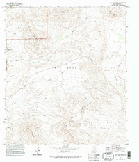
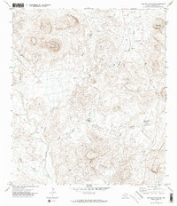
1971 Map of Tule Mountain
USGS Topo · Published 1995About this map
Big Bend National Park dominates this high-desert landscape, captured through aerial photography and field checks in the early 1970s. The terrain is defined by dramatic volcanic and erosional formations, most notably the massive Burro Mesa and the prominent peak of Tule Mountain. These highlands are dissected by an intricate drainage system including Alamo Creek, Cottonwood Creek, and Rough Run.
Find a feature on this map
19 named features on this map. Tap any name to fly to it.
Don’t see what you’re looking for? This feature index may not catch every label — zoom into the map to look around manually.
Map Details
Editions of this 1971 Tule Mountain Map
3 editions found
Other maps of this area

1903 · Chisos Mountains
USGS Topo · 1:125,000

1903 · Terlingua
USGS Topo · 1:125,000

1904 · Terlingua
USGS Topo · 1:125,000

1905 · Chisos Mountains
USGS Topo · 1:125,000

1959 · Emory Peak
USGS Topo · 1:250,000

1965 · Emory Peak
USGS Topo · 1:250,000

1971 · Terlingua
USGS Topo · 1:24,000

1971 · Cerro Castellan
USGS Topo · 1:24,000
1971 · Christmas Mountians
USGS Topo · 1:24,000
1971 · Hen Egg Mountain
USGS Topo · 1:24,000