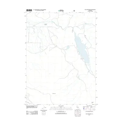
2012 Map of Tule Mountain
USGS Topo · Published 2012About this map
Kauffman and the high ranching country of Modoc County define this landscape during the early 21st century. The geography is dominated by the massive Tule Mountain and the expansive West Valley Reservoir, which collects the flow of W Valley Cr. The presence of the West Valley Ranch and names like McKabe Flat suggest a long history of cattle ranching and land use in this high-altitude basin.
Find a feature on this map
17 named features on this map. Tap any name to fly to it.
Don’t see what you’re looking for? This feature index may not catch every label — zoom into the map to look around manually.
Map Details
Editions of this 2012 Tule Mountain Map
This is the sole edition of this map. No revisions or reprints were ever made.
Other maps of this area
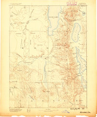
1886 · Alturas
USGS Topo · 1:250,000
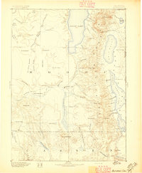
1892 · Alturas
USGS Topo · 1:250,000
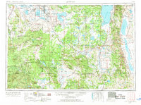
1954 · Alturas
USGS Topo · 1:250,000
1958 · Alturas
USGS Topo · 1:250,000
1961 · Alturas
USGS Topo · 1:62,500
1962 · Alturas
USGS Topo · 1:250,000
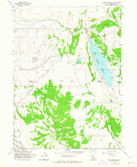
1962 · Tule Mountain
USGS Topo · 1:24,000
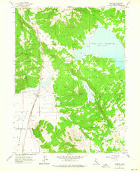
1962 · Madeline
USGS Topo · 1:24,000
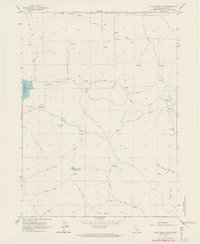
1962 · Cold Spring Mtn
USGS Topo · 1:24,000
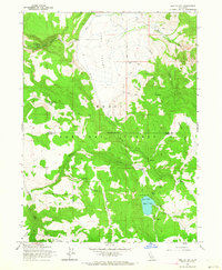
1962 · Jess Valley
USGS Topo · 1:24,000