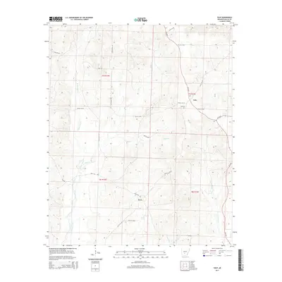
2014 Map of Tulip
USGS Topo · Published 2014About this map
Tulip and the small settlement of Wave anchor this rural Dallas County landscape, where the drainage basins of W Fork Tulip Cr and E Fork Tulip Cr converge. The area is characterized by a dense network of local routes and historic paths, including the Copeland Trl and High Meyers Trl, which navigate the wooded terrain between several tributaries. For genealogists and local historians, the Tulip Cem serves as a significant landmark near the intersection of AR 9 Hwy and AR 48 Hwy. The mapping reveals a quiet, agrarian character defined by creek bottoms like those of Smith Cr and Tunstle Cr, punctuated by long-established section lines and property boundaries that have shaped this portion of Arkansas for generations.
Find a feature on this map
32 named features on this map. Tap any name to fly to it.
Don’t see what you’re looking for? This feature index may not catch every label — zoom into the map to look around manually.
Map Details
Editions of this 2014 Tulip Map
This is the sole edition of this map. No revisions or reprints were ever made.
Other maps of this area

1903 · Camden
USGS Topo · 1:125,000

1953 · El Dorado
USGS Topo · 1:250,000

1955 · Little Rock
USGS Topo · 1:250,000

1956 · Little Rock
USGS Topo · 1:250,000

1957 · El Dorado
USGS Topo · 1:250,000

1958 · El Dorado
USGS Topo · 1:250,000

1960 · El Dorado
USGS Topo · 1:250,000

1960 · Little Rock
USGS Topo · 1:250,000

1964 · Little Rock
USGS Topo · 1:250,000

1965 · Round Hill
USGS Topo · 1:24,000