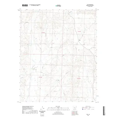
2020 Map of Tulip
USGS Topo · Published 2020About this map
Tulip and Wave serve as the primary focal points of this Dallas County landscape, where the headwaters of several critical drainages emerge. The terrain is defined by the diverging paths of the W Fork Tulip Cr and E Fork Tulip Cr, which carve through the timberlands alongside Smith Cr and Moro Cr. For those researching local lineages, the Tulip Cem provides a specific point of interest near the historic settlement of Tulip. The road network, including Dominecker Rd and Deer Camp Rd, follows the natural ridgelines between creek beds like Hall Cr and Tunstle Cr, reflecting a traditional rural development pattern. This modern survey preserves the locations of established landmarks such as Campground Cr, offering a detailed view of the area's hydrology and land divisions.
Find a feature on this map
31 named features on this map. Tap any name to fly to it.
Don’t see what you’re looking for? This feature index may not catch every label — zoom into the map to look around manually.
Map Details
Editions of this 2020 Tulip Map
This is the sole edition of this map. No revisions or reprints were ever made.
Other maps of this area

1903 · Camden
USGS Topo · 1:125,000

1953 · El Dorado
USGS Topo · 1:250,000

1955 · Little Rock
USGS Topo · 1:250,000

1956 · Little Rock
USGS Topo · 1:250,000

1957 · El Dorado
USGS Topo · 1:250,000

1958 · El Dorado
USGS Topo · 1:250,000

1960 · El Dorado
USGS Topo · 1:250,000

1960 · Little Rock
USGS Topo · 1:250,000

1964 · Little Rock
USGS Topo · 1:250,000

1965 · Round Hill
USGS Topo · 1:24,000