2024 Map of Tull
USGS Topo · Published 2024About this map
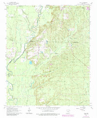
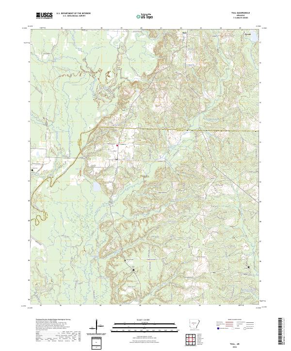
The Saline River corridor defines the western edge of this modern landscape, where the town of Tull serves as a central hub on the border of Saline and Grant counties. The area is characterized by a dense network of creek systems including Trace Creek, Mud Creek, and the uniquely named Skullbone Creek, which meander through the timbered lowlands. These watercourses are punctuated by small bodies of water like Tull Lake and Nall Lake. Settlement patterns follow the higher ground near Shaw and Detonti, connected by a web of local routes such as Shaw Bridge Rd and Detonti Rd. Family-named landmarks are frequent throughout the region, particularly preserved burial sites such as Ashcraft Cem, Jones Cem, and Jacob Cem, which provide specific points of interest for genealogical research in this rural Arkansas river valley.
Find a feature on this map
119 named features on this map. Tap any name to fly to it.
Don’t see what you’re looking for? This feature index may not catch every label — zoom into the map to look around manually.
Map Details
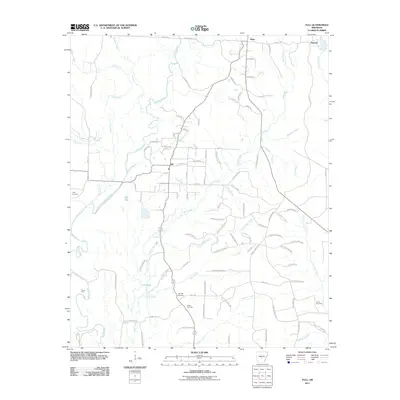
Editions of this 2024 Tull Map
This is the sole edition of this map. No revisions or reprints were ever made.
Historical Maps of Haskell Through Time
6 maps found