1963 Map of Tulsa
USGS Topo · Published 1963About this map
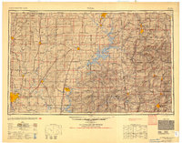
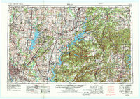
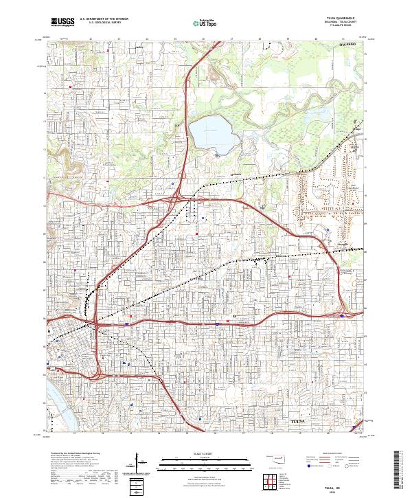
Tulsa anchors the southwest corner of this regional study, which extends across the borderlands of Oklahoma, Kansas, Missouri, and Arkansas. The mid-century landscape is defined by massive water management projects and extractive industries, with Lake O' the Cherokees and the Oologah Reservoir dominating the drainage basins of the Grand River and Verdigris River. To the northeast, the presence of numerous zinc and lead mines near Miami and Picher points to the intense industrial activity of the Tri-State district, while coal mines and strip mines are noted further west.
Find a feature on this map
83 named features on this map. Tap any name to fly to it.
Don’t see what you’re looking for? This feature index may not catch every label — zoom into the map to look around manually.
Map Details
Editions of this 1963 Tulsa Map
This is the sole edition of this map. No revisions or reprints were ever made.
Historical Maps of Samson Plaza Through Time
6 maps found