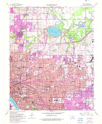
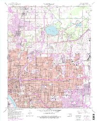
1954 Map of Tulsa
USGS Topo · Published 1982About this map
The University of Tulsa and the expansive Tulsa State Fairground anchor the central eastern landscape of this mid-century Oklahoma city, reflecting its post-war institutional and civic growth. The map details a dense network of neighborhoods defined by their local education centers, including the Booker T Washington High Sch, Bunche Sch, and Carver Jr High Sch. To the north, the recreational and industrial infrastructure is prominent, centered around Mohawk Park, which contains the Zoological Gardens and Lake Yahola, a critical reservoir for the metropolitan area.
Find a feature on this map
92 named features on this map. Tap any name to fly to it.
Don’t see what you’re looking for? This feature index may not catch every label — zoom into the map to look around manually.
Map Details
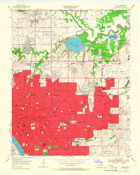
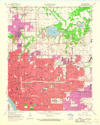
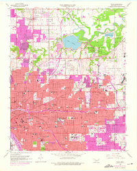
Editions of this 1954 Tulsa Map
6 editions found
Other maps of this area

1901 · Claremore
USGS Topo · 1:125,000

1912 · Hominy
USGS Topo · 1:125,000

1914 · Claremore
USGS Topo · 1:125,000

1915 · Hominy
USGS Topo · 1:125,000

1916 · Claremore
USGS Topo · 1:125,000

1952 · Jenks
USGS Topo · 1:24,000

1954 · Tulsa
USGS Topo · 1:250,000

1954 · Tulsa
USGS Topo · 1:24,000

1955 · Sperry
USGS Topo · 1:24,000

1955 · Mingo
USGS Topo · 1:24,000