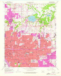
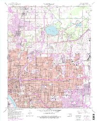
1954 Map of Tulsa
USGS Topo · Published 1976About this map
Tulsa city life and its surrounding landscape are shown here during a period of significant mid-century expansion, with pink-shaded urban corridors reaching north through Turley and east toward Dawson. The heart of the city is dense with civic and social landmarks, from the Civic Center Courthouse to the University of Tulsa campus, including Skelly Field. This survey captures the massive industrial and transportation infrastructure that powered the region, including the sprawling Tulsa International Airport and the complex rail networks of the Midland Valley and Atchison Topeka and Santa Fe lines.
Find a feature on this map
102 named features on this map. Tap any name to fly to it.
Don’t see what you’re looking for? This feature index may not catch every label — zoom into the map to look around manually.
Map Details
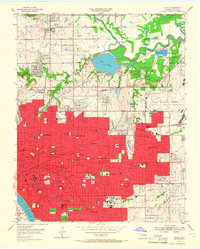
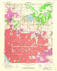
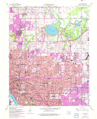
Editions of this 1954 Tulsa Map
6 editions found
Other maps of this area

1901 · Claremore
USGS Topo · 1:125,000

1912 · Hominy
USGS Topo · 1:125,000

1914 · Claremore
USGS Topo · 1:125,000

1915 · Hominy
USGS Topo · 1:125,000

1916 · Claremore
USGS Topo · 1:125,000

1952 · Jenks
USGS Topo · 1:24,000

1954 · Tulsa
USGS Topo · 1:250,000

1954 · Tulsa
USGS Topo · 1:24,000

1955 · Sperry
USGS Topo · 1:24,000

1955 · Mingo
USGS Topo · 1:24,000