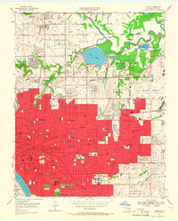
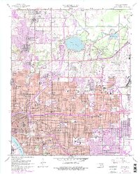
1954 Map of Tulsa
USGS Topo · Published 1966About this map
Tulsa transitions from its urban core to industrial and municipal expansion zones in this mid-century survey. The dense grid of the city center is marked by numerous educational and medical institutions, including Booker T Washington High Sch, Central High Sch, and Hillcrest Hospital. The Arkansas River flows along the southwestern edge, while the northeastern quadrant is dominated by the sprawling Mohawk Park, containing the Zoological Gardens and the large Lake Yahola reservoir.
Find a feature on this map
110 named features on this map. Tap any name to fly to it.
Don’t see what you’re looking for? This feature index may not catch every label — zoom into the map to look around manually.
Map Details
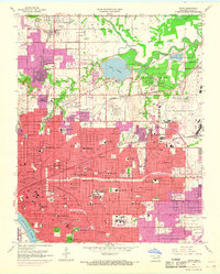
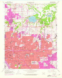
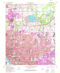
Editions of this 1954 Tulsa Map
6 editions found
Other maps of this area

1901 · Claremore
USGS Topo · 1:125,000

1912 · Hominy
USGS Topo · 1:125,000

1914 · Claremore
USGS Topo · 1:125,000

1915 · Hominy
USGS Topo · 1:125,000

1916 · Claremore
USGS Topo · 1:125,000

1952 · Jenks
USGS Topo · 1:24,000

1954 · Tulsa
USGS Topo · 1:250,000

1954 · Tulsa
USGS Topo · 1:24,000

1955 · Sperry
USGS Topo · 1:24,000

1955 · Mingo
USGS Topo · 1:24,000