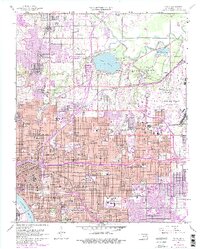
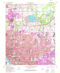
1954 Map of Tulsa
USGS Topo · Published 1982About this map
The Arkansas River serves as the southwestern anchor for this mid-century look at the growing Oklahoma hub, showing the expansion of Tulsa toward the northeast. The urban landscape is defined by its extensive rail network, featuring the Atchison Topeka and Santa Fe and St Louis and San Francisco lines, which supported the local industry evidenced by numerous Oil Wells and a Pit near Turley.
Find a feature on this map
102 named features on this map. Tap any name to fly to it.
Don’t see what you’re looking for? This feature index may not catch every label — zoom into the map to look around manually.
Map Details
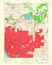
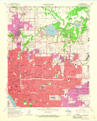
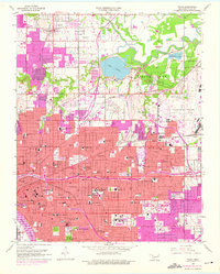
Editions of this 1954 Tulsa Map
6 editions found
Other maps of this area

1901 · Claremore
USGS Topo · 1:125,000

1912 · Hominy
USGS Topo · 1:125,000

1914 · Claremore
USGS Topo · 1:125,000

1915 · Hominy
USGS Topo · 1:125,000

1916 · Claremore
USGS Topo · 1:125,000

1952 · Jenks
USGS Topo · 1:24,000

1954 · Tulsa
USGS Topo · 1:250,000

1954 · Tulsa
USGS Topo · 1:24,000

1955 · Sperry
USGS Topo · 1:24,000

1955 · Mingo
USGS Topo · 1:24,000