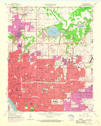
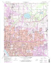
1954 Map of Tulsa
USGS Topo · Published 1968About this map
Tulsa expanded rapidly during the mid-20th century, a transformation reflected in this 1954 survey updated with 1967 aerial photography. The urban core, centered near the Arkansas River, is a dense grid of residential and industrial sectors, including the campus of the University of Tulsa and the nearby Skelly Field. To the northeast, the Tulsa International Airport stands as a massive footprint on the landscape, adjacent to the community of Dawson.
Find a feature on this map
115 named features on this map. Tap any name to fly to it.
Don’t see what you’re looking for? This feature index may not catch every label — zoom into the map to look around manually.
Map Details
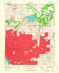
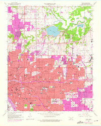
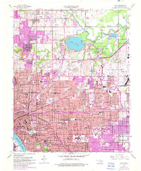
Editions of this 1954 Tulsa Map
6 editions found
Other maps of this area

1901 · Claremore
USGS Topo · 1:125,000

1912 · Hominy
USGS Topo · 1:125,000

1914 · Claremore
USGS Topo · 1:125,000

1915 · Hominy
USGS Topo · 1:125,000

1916 · Claremore
USGS Topo · 1:125,000

1952 · Jenks
USGS Topo · 1:24,000

1954 · Tulsa
USGS Topo · 1:250,000

1954 · Tulsa
USGS Topo · 1:24,000

1955 · Sperry
USGS Topo · 1:24,000

1955 · Mingo
USGS Topo · 1:24,000