Loading...
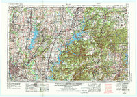
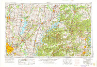
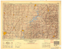
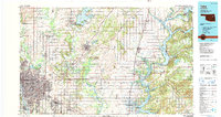
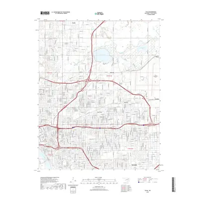
Loading map...1958 Map of Tulsa
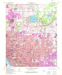
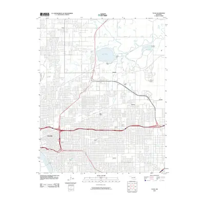
USGS Topo · Published 1988About this map
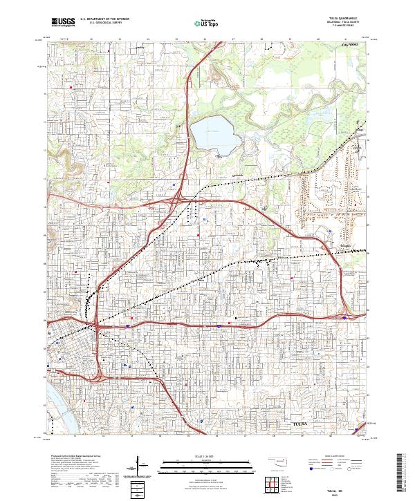
Oologah Lake and Lake O' the Cherokees anchor this regional perspective of the Tri-State area as it transitioned into the mid-20th century. The map illustrates a complex convergence of geography and industry where the Ozark Plateau meets the plains of Oklahoma. Prominent transportation corridors, including the St Louis-San Francisco RR and Kansas City Southern Ry, weave through established centers like Tulsa, Bartlesville, and Fayetteville.
Find a feature on this map
192 named features on this map. Tap any name to fly to it.
Don’t see what you’re looking for? This feature index may not catch every label — zoom into the map to look around manually.
Map Details
Date Portrayed1958
Date Published1988
PublisherU.S. Geological Survey
Map TypeTopographic
Scale1:250,000
Physical Dimensions32.6 x 23.1 inches
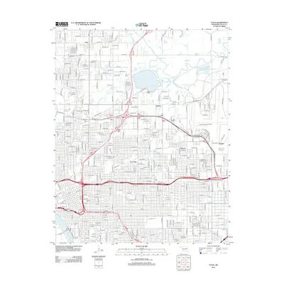
Editions of this 1958 Tulsa Map
3 editions found

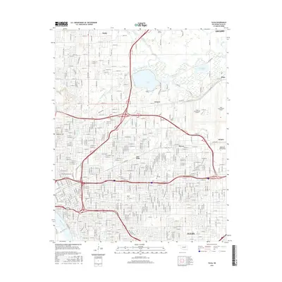
Historical Maps of Tulsa Through Time
10 maps found

Featured Locations
Source Details
SourceU.S. Geological Survey
CopyrightPublic Domain