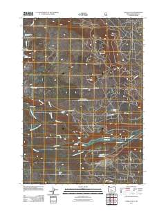
2011 Map of Tumalo Falls
USGS Topo · Published 2011About this map
Tumalo Falls serves as a central landmark in this high-elevation landscape, where a complex network of waterways including the North Fork Tumalo Creek and South Fork Tumalo Creek converge. The area is defined by its water infrastructure and recreational shelters, featuring the Bend City Water Intake and the Big Three Creek Lake Dam. Hikers and outdoorsmen will note the placement of several remote stations, such as the Swampy Lakes Shelter, South Fork Shelter, and Swede Ridge Shelter. This 2011 survey captures the backcountry logistics of the region, from the Three Creek Meadow Horse Camp in the north to the Skyliner Sno-Park in the east, illustrating how forest service roads like Tumalo Falls Rd provide access to the drainages of Bridge Creek and Bottle Creek.
Find a feature on this map
30 named features on this map. Tap any name to fly to it.
Don’t see what you’re looking for? This feature index may not catch every label — zoom into the map to look around manually.
Map Details
Editions of this 2011 Tumalo Falls Map
This is the sole edition of this map. No revisions or reprints were ever made.
Other maps of this area

1926 · Bend
USGS Topo · 1:125,000

1929 · Bend
USGS Topo · 1:125,000

1929 · Three Sisters
USGS Topo · 1:125,000

1930 · Maiden Peak
USGS Topo · 1:125,000

1931 · Newberry Crater
USGS Topo · 1:125,000

1932 · Three Sisters
USGS Topo · 1:125,000

1934 · Maiden Peak
USGS Topo · 1:125,000

1935 · Newberry Crater
USGS Topo · 1:125,000

1955 · Crescent
USGS Topo · 1:250,000

1955 · Bend
USGS Topo · 1:250,000