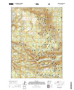
2020 Map of Tumalo Falls
USGS Topo · Published 2020About this map
The Deschutes National Forest dominates this section of the Cascade Range, revealing a complex web of modern recreational infrastructure layered over the headwaters of the Tumalo Creek system. High-elevation drainage basins feed into Three Creek Lake and Tumalo Lake, while a network of seasonal routes like the Metolius-Windigo trail and Snomo #8 snowmobile path facilitate movement through the timber. The terrain is defined by prominent volcanic features including Triangle Hill, Bearwallow Butte, and the striking Tam Mcarthur Rim.
Find a feature on this map
55 named features on this map. Tap any name to fly to it.
Don’t see what you’re looking for? This feature index may not catch every label — zoom into the map to look around manually.
Map Details
Editions of this 2020 Tumalo Falls Map
This is the sole edition of this map. No revisions or reprints were ever made.
Other maps of this area

1926 · Bend
USGS Topo · 1:125,000

1929 · Bend
USGS Topo · 1:125,000

1929 · Three Sisters
USGS Topo · 1:125,000

1930 · Maiden Peak
USGS Topo · 1:125,000

1931 · Newberry Crater
USGS Topo · 1:125,000

1932 · Three Sisters
USGS Topo · 1:125,000

1934 · Maiden Peak
USGS Topo · 1:125,000

1935 · Newberry Crater
USGS Topo · 1:125,000

1955 · Crescent
USGS Topo · 1:250,000

1955 · Bend
USGS Topo · 1:250,000