Loading...
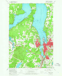
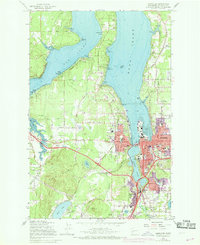
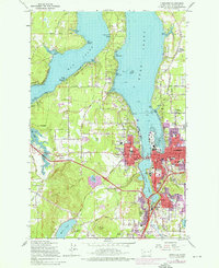
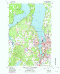
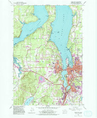
Loading map...1959 Map of Tumwater
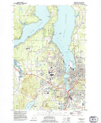
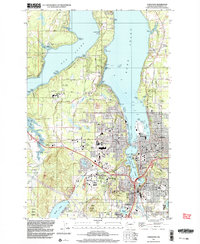
USGS Topo · Published 1966About this map
The State Capitol stands at the center of this 1950s survey, overlooking Capitol Lake and the southern reaches of Budd Inlet. This map captures the urban development of Olympia and Tumwater before the full impact of interstate construction, showing the convergence of the Union Pacific and Northern Pacific railroads along the Deschutes River. The landscape transitions from the developed waterfront and city grid to the wooded elevations of the Black Hills to the southwest.
Find a feature on this map
71 named features on this map. Tap any name to fly to it.
Don’t see what you’re looking for? This feature index may not catch every label — zoom into the map to look around manually.
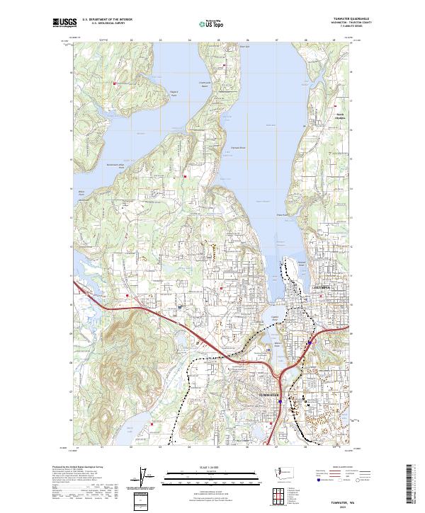
Map Details
Date Portrayed1959
Date Published1966
PublisherU.S. Geological Survey
Map TypeTopographic
Scale1:24000
Physical Dimensions22 x 26.9 inches
Editions of this 1959 Tumwater Map
6 editions found
Historical Maps of Barnes Lake Condominiums Through Time
3 maps found
Featured Locations
Source Details
SourceU.S. Geological Survey
CopyrightPublic Domain