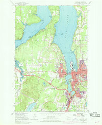
1959 Map of Tumwater
USGS Topo · Published 1969About this map
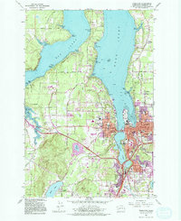
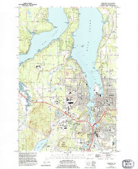
The State Capitol and the bustling core of Olympia anchor this 1959 survey, capturing the region's development before the massive expansion of the late 20th century. The landscape is defined by the deep reaches of Budd Inlet and Eld Inlet, where timber and maritime history meet at waterfronts like Gull Harbor and Butler Cove. To the south, Tumwater sits at the falls of the Deschutes River, a critical industrial site served by both the Northern Pacific and Union Pacific railroads.
Find a feature on this map
79 named features on this map. Tap any name to fly to it.
Don’t see what you’re looking for? This feature index may not catch every label — zoom into the map to look around manually.
Map Details
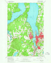
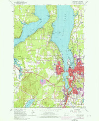
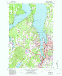
Editions of this 1959 Tumwater Map
6 editions found
Other maps of this area

1916 · Chehalis
USGS Topo · 1:125,000

1937 · Olympia
USGS Topo · 1:62,500

1939 · Shelton
USGS Topo · 1:62,500

1940 · Tenino
USGS Topo · 1:62,500

1941 · Gate
USGS Topo · 1:62,500

1944 · Tenino
USGS Topo · 1:62,500

1949 · Tenino
USGS Topo · 1:62,500

1949 · Olympia
USGS Topo · 1:62,500

1953 · Hoquiam
USGS Topo · 1:250,000

1953 · Rochester
USGS Topo · 1:62,500