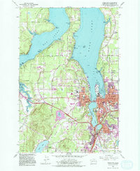
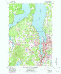
1959 Map of Tumwater
USGS Topo · Published 1981About this map
Budd Inlet and Eld Inlet define the maritime character of this region, where the fingers of the Puget Sound reach toward the state's seat of government. In Olympia, the street grid extends toward the Deschutes River and the newly formed Capitol Lake, regulated by a Tide Gate. The landscape transitions from the urban core and the industrial presence of the Union Pacific and Burlington Northern railroads to the higher elevations of the Black Hills. This survey captures the mid-century expansion of educational and civic institutions, including the early footprint of The Evergreen State College and local landmarks like St Peters Hospital and the Courthouse. Along the western shores, small residential developments such as Forest Shores and Countryside Beach appear alongside family-named points like Snyder Cove and Butler Cove, marking the suburban growth of the late 1950s.
Find a feature on this map
76 named features on this map. Tap any name to fly to it.
Don’t see what you’re looking for? This feature index may not catch every label — zoom into the map to look around manually.
Map Details
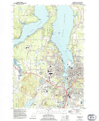
Editions of this 1959 Tumwater Map
6 editions found
Other maps of this area

1916 · Chehalis
USGS Topo · 1:125,000

1937 · Olympia
USGS Topo · 1:62,500

1939 · Shelton
USGS Topo · 1:62,500

1940 · Tenino
USGS Topo · 1:62,500

1941 · Gate
USGS Topo · 1:62,500

1944 · Tenino
USGS Topo · 1:62,500

1949 · Tenino
USGS Topo · 1:62,500

1949 · Olympia
USGS Topo · 1:62,500

1953 · Hoquiam
USGS Topo · 1:250,000

1953 · Rochester
USGS Topo · 1:62,500