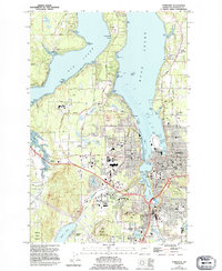
1959 Map of Tumwater
USGS Topo · Published 1995About this map
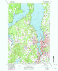
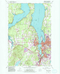
Olympia and Tumwater anchor this late 20th-century landscape, where the urban core meets the intricate waterways of the southern Puget Sound. The State Capitol complex sits at the head of Capitol Lake, overlooking the convergence of West Bay and East Bay. The map illustrates a significant era of institutional and commercial expansion, featuring the established campus of The Evergreen State College to the west and the massive Capital Mall shopping district.
Find a feature on this map
97 named features on this map. Tap any name to fly to it.
Don’t see what you’re looking for? This feature index may not catch every label — zoom into the map to look around manually.
Map Details
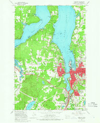
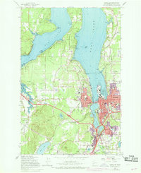
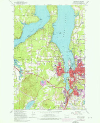
Editions of this 1959 Tumwater Map
6 editions found
Other maps of this area

1916 · Chehalis
USGS Topo · 1:125,000

1937 · Olympia
USGS Topo · 1:62,500

1939 · Shelton
USGS Topo · 1:62,500

1940 · Tenino
USGS Topo · 1:62,500

1941 · Gate
USGS Topo · 1:62,500

1944 · Tenino
USGS Topo · 1:62,500

1949 · Tenino
USGS Topo · 1:62,500

1949 · Olympia
USGS Topo · 1:62,500

1953 · Hoquiam
USGS Topo · 1:250,000

1953 · Rochester
USGS Topo · 1:62,500