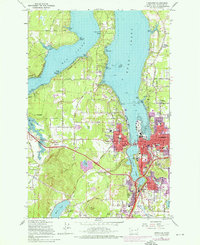
1959 Map of Tumwater
USGS Topo · Published 1975About this map
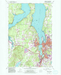
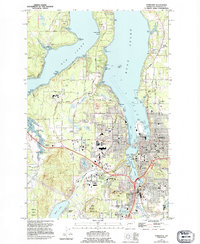
State Capitol grounds and the urban development of Olympia define this mid-century landscape where the Deschutes River meets the southern reach of Puget Sound. The map captures a period of growth for Tumwater and nearby Bush Prairie, showing the extension of urban areas around the Capitol Lake basin. Prominent civic and religious landmarks, including the Armory, the Courthouse, and St Peters Hosp, are set against a backdrop of established neighborhoods served by numerous local schools like Jefferson Sch and Garfield Sch.
Find a feature on this map
66 named features on this map. Tap any name to fly to it.
Don’t see what you’re looking for? This feature index may not catch every label — zoom into the map to look around manually.
Map Details
Editions of this 1959 Tumwater Map
6 editions found
Other maps of this area

1916 · Chehalis
USGS Topo · 1:125,000

1937 · Olympia
USGS Topo · 1:62,500

1939 · Shelton
USGS Topo · 1:62,500

1940 · Tenino
USGS Topo · 1:62,500

1941 · Gate
USGS Topo · 1:62,500

1944 · Tenino
USGS Topo · 1:62,500

1949 · Tenino
USGS Topo · 1:62,500

1949 · Olympia
USGS Topo · 1:62,500

1953 · Hoquiam
USGS Topo · 1:250,000

1953 · Rochester
USGS Topo · 1:62,500