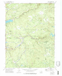
1972 Map of Tungsten
USGS Topo · Published 1975About this map
Mining operations and narrow mountain transit corridors define this 1970s landscape at the junction of Boulder, Gilpin, and Jefferson counties. Tungsten and Tungsten Mountain serve as centerpieces of the region's industrial heritage, surrounded by a dense concentration of historical workings including the Mammoth Mine, Manchester Mine, and the Tungsten Shaft. The Denver and Rio Grande Western railroad snakes through the steep terrain, connecting settlements like Rollinsville and Pinecliffe via several engineered tunnels.
Find a feature on this map
68 named features on this map. Tap any name to fly to it.
Don’t see what you’re looking for? This feature index may not catch every label — zoom into the map to look around manually.
Map Details
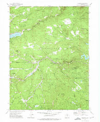
Editions of this 1972 Tungsten Map
2 editions found
Other maps of this area

1899 · West Denver
USGS Topo · 1:125,000

1902 · Boulder
USGS Topo · 1:62,500

1904 · Boulder
USGS Topo · 1:62,500

1905 · Central City
USGS Topo · 1:62,500

1906 · Blackhawk
USGS Topo · 1:62,500

1910 · Central City
USGS Topo · 1:62,500

1912 · Central City
USGS Topo · 1:62,500

1915 · Longs Peak
USGS Topo · 1:125,000

1919 · Rocky Mountain National Park
USGS Topo · 1:125,000

1942 · Eldorado Springs
USGS Topo · 1:24,000