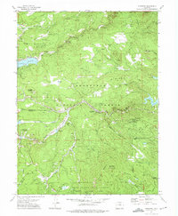
1972 Map of Tungsten
USGS Topo · Published 1975About this map
Middle Boulder Creek and South Boulder Creek dominate this 1970s landscape, providing the drainage for a region defined by its intensive mining history and water infrastructure. The map details the operations of the Ruby Mine, Orange Blossom Mine, and Mammoth Mine, among others, situated within the Roosevelt National Forest. Significant engineering is visible through the presence of the Aqueduct system and Barker Reservoir, while the Denver Rio Grande and Western railroad winds through the canyons.
Find a feature on this map
63 named features on this map. Tap any name to fly to it.
Don’t see what you’re looking for? This feature index may not catch every label — zoom into the map to look around manually.
Map Details
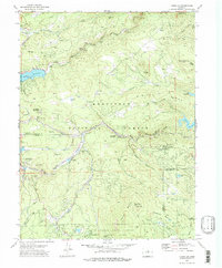
Editions of this 1972 Tungsten Map
2 editions found
Other maps of this area

1899 · West Denver
USGS Topo · 1:125,000

1902 · Boulder
USGS Topo · 1:62,500

1904 · Boulder
USGS Topo · 1:62,500

1905 · Central City
USGS Topo · 1:62,500

1906 · Blackhawk
USGS Topo · 1:62,500

1910 · Central City
USGS Topo · 1:62,500

1912 · Central City
USGS Topo · 1:62,500

1915 · Longs Peak
USGS Topo · 1:125,000

1919 · Rocky Mountain National Park
USGS Topo · 1:125,000

1942 · Eldorado Springs
USGS Topo · 1:24,000