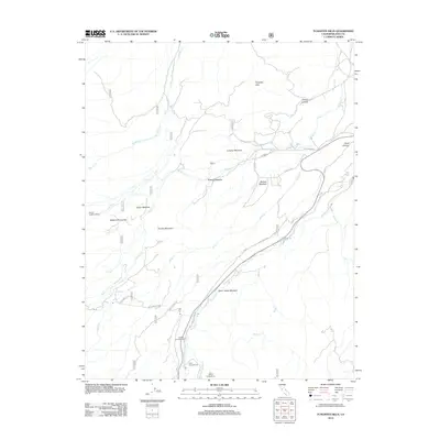
2012 Map of Tungsten Hills
USGS Topo · Published 2012About this map
Tungsten Hills and the high Sierra Nevada foothills define this Eastern California landscape, where complex water systems descend toward the Owens Valley. The map captures a detailed network of drainage and recreation including Horton Cr, McGee Cr, and Bishop Cr, which are fed by the snowmelt of the surrounding peaks. This area, known as Buttermilk Country, is characterized by its high-altitude meadows such as Dutch Johns Meadow, Sharps Meadow, and Longley Meadow.
Find a feature on this map
26 named features on this map. Tap any name to fly to it.
Don’t see what you’re looking for? This feature index may not catch every label — zoom into the map to look around manually.
Map Details
Editions of this 2012 Tungsten Hills Map
This is the sole edition of this map. No revisions or reprints were ever made.
Other maps of this area

1912 · Mt. Goddard
USGS Topo · 1:125,000

1913 · Bishop
USGS Topo · 1:125,000

1947 · Mariposa
USGS Topo · 1:250,000

1948 · Mariposa
USGS Topo · 1:250,000

1948 · Mt. Goddard
USGS Topo · 1:62,500

1949 · Mt. Tom
USGS Topo · 1:62,500

1949 · Bishop
USGS Topo · 1:62,500

1950 · Big Pine
USGS Topo · 1:62,500

1951 · Mt. Tom
USGS Topo · 1:62,500

1951 · Mt. Goddard
USGS Topo · 1:62,500