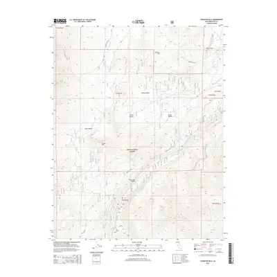
2015 Map of Tungsten Hills
USGS Topo · Published 2015About this map
Tungsten Hills rises as a prominent topographical feature in this eastern Sierra Nevada landscape, where the high desert meets the steep alpine slopes of the Inyo National Forest. The map documents a complex system of drainage and grazing history, defined by a sequence of high-altitude grassy areas including Longley Meadow, Sharps Meadow, and McGee Meadow. These clearings, fed by permanent water sources like Horton Cr and Birch Cr, indicate the historical importance of seasonal pasturing in this arid region. The presence of Tungsten City Rd in the northeast suggests the area's twentieth-century industrial ties to mining, while the intricate network of the Bishop Cr system—including the Middle Fork Bishop Cr and S Fork Bishop Cr—highlights the vital role of water management and hydroelectric potential in the Owens Valley watershed.
Find a feature on this map
27 named features on this map. Tap any name to fly to it.
Don’t see what you’re looking for? This feature index may not catch every label — zoom into the map to look around manually.
Map Details
Editions of this 2015 Tungsten Hills Map
This is the sole edition of this map. No revisions or reprints were ever made.
Other maps of this area

1912 · Mt. Goddard
USGS Topo · 1:125,000

1913 · Bishop
USGS Topo · 1:125,000

1947 · Mariposa
USGS Topo · 1:250,000

1948 · Mariposa
USGS Topo · 1:250,000

1948 · Mt. Goddard
USGS Topo · 1:62,500

1949 · Mt. Tom
USGS Topo · 1:62,500

1949 · Bishop
USGS Topo · 1:62,500

1950 · Big Pine
USGS Topo · 1:62,500

1951 · Mt. Tom
USGS Topo · 1:62,500

1951 · Mt. Goddard
USGS Topo · 1:62,500