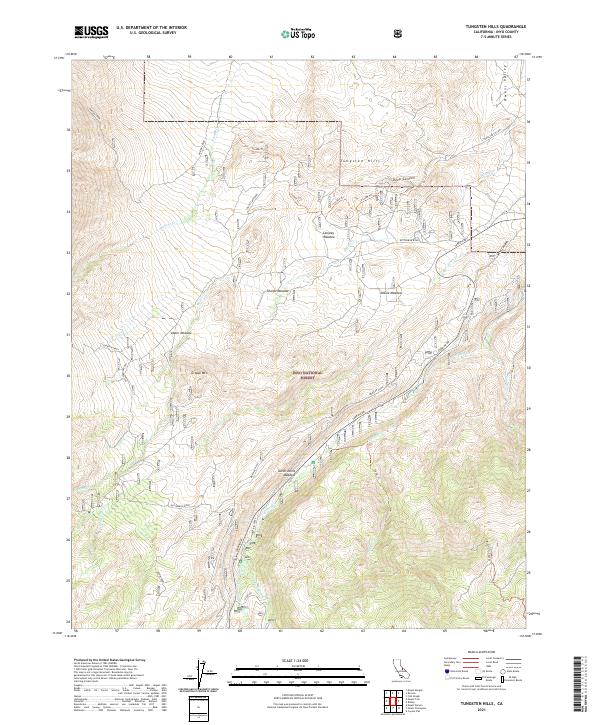
2021 Map of Tungsten Hills
USGS Topo · Published 2021About this map
The Tungsten Hills rise sharply above the western edge of the Owens Valley, defining a landscape of high-altitude drainages and seasonal meadows. This 2021 survey by the U.S. Geological Survey documents the complex hydrology of the eastern Sierra, where Horton Creek, Birch Cr, and Bishop Cr descend from the peaks toward the valley floor. The map highlights the extensive reach of the Inyo National Forest, which covers the southern and western portions of the quadrangle, including landmarks like Grouse Mtn and the alpine Horton Lakes.
Find a feature on this map
39 named features on this map. Tap any name to fly to it.
Don’t see what you’re looking for? This feature index may not catch every label — zoom into the map to look around manually.
Map Details
Editions of this 2021 Tungsten Hills Map
This is the sole edition of this map. No revisions or reprints were ever made.
Other maps of this area

1912 · Mt. Goddard
USGS Topo · 1:125,000

1913 · Bishop
USGS Topo · 1:125,000

1947 · Mariposa
USGS Topo · 1:250,000

1948 · Mariposa
USGS Topo · 1:250,000

1948 · Mt. Goddard
USGS Topo · 1:62,500

1949 · Mt. Tom
USGS Topo · 1:62,500

1949 · Bishop
USGS Topo · 1:62,500

1950 · Big Pine
USGS Topo · 1:62,500

1951 · Mt. Tom
USGS Topo · 1:62,500

1951 · Mt. Goddard
USGS Topo · 1:62,500