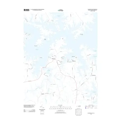
2013 Map of Tungsten
USGS Topo · Published 2013About this map
The sprawling waters of the John H. Kerr Reservoir dominate this landscape, creating a complex network of peninsulas and named islands like Big Island and Clydes Island. Along the northern shore, Occoneechee State Park preserves the natural shoreline near Ivy Hill. The settlement patterns here are defined by the reservoir's fingers, with residential clusters such as Ponderosa and Richardson situated on high ground overlooking the water.
Find a feature on this map
81 named features on this map. Tap any name to fly to it.
Don’t see what you’re looking for? This feature index may not catch every label — zoom into the map to look around manually.
Map Details
Editions of this 2013 Tungsten Map
This is the sole edition of this map. No revisions or reprints were ever made.
Other maps of this area

1941 · Clarksville
USGS Topo · 1:48,000

1943 · Clarksville
USGS Topo · 1:62,500

1953 · Oxford
USGS Topo · 1:62,500

1953 · Greensboro
USGS Topo · 1:250,000

1954 · Greensboro
USGS Topo · 1:250,000

1955 · Boydton
USGS Topo · 1:62,500

1957 · Clarksville
USGS Topo · 1:62,500

1962 · Greensboro
USGS Topo · 1:250,000

1966 · Greensboro
USGS Topo · 1:250,000

1966 · Oxford
USGS Topo · 1:62,500