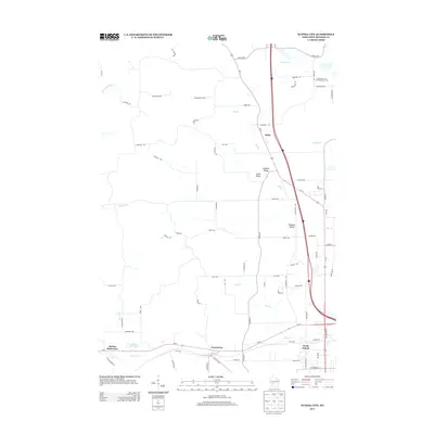
2013 Map of Tunnel City
USGS Topo · Published 2013About this map
Tunnel City serves as a central landmark in this 2013 survey of Monroe County, situated where the terrain transitions toward the neighboring heights. The map records a landscape defined by several distinct valley settlements, including Summit Valley, Union Valley, and Pleasant Valley, which are connected by a network of rural county roads. A notable agricultural fixture is found at Moseley's Fruit and Vegetable Farm in the northeast, while recreation and conservation areas appear around Flora Dell Lake and Spring Bank Park in the southwest. A complex system of waterways, including Whisky Cr, Mill Cr, and Mud Cr, carves through the region, illustrating the drainage patterns that have historically shaped the local farming and transportation corridors leading toward North Tomah.
Find a feature on this map
74 named features on this map. Tap any name to fly to it.
Don’t see what you’re looking for? This feature index may not catch every label — zoom into the map to look around manually.
Map Details
Editions of this 2013 Tunnel City Map
This is the sole edition of this map. No revisions or reprints were ever made.
Other maps of this area

1916 · Tomah
USGS Topo · 1:62,500

1919 · Kendall
USGS Topo · 1:62,500

1921 · Kendall
USGS Topo · 1:62,500

1947 · Millston
USGS Topo · 1:62,500

1949 · Millston
USGS Topo · 1:62,500

1949 · Tomah
USGS Topo · 1:62,500

1953 · Eau Claire
USGS Topo · 1:250,000

1958 · Eau Claire
USGS Topo · 1:250,000

1958 · Wyeville
USGS Topo · 1:48,000

1958 · La Crosse
USGS Topo · 1:250,000